
Highway 395 Fall Road Trip: Best Stops & Fall Colors
Highway 395 runs about 150 miles between Lone Pine and Bridgeport, and for a few weeks each fall it turns into one of the best color drives in the American West. Granite peaks, blue alpine lakes, and canyons full of quaking aspen line nearly every turnoff. The highway itself stays open and well maintained, which makes planning around the color far easier than chasing foliage in more remote parts of the Sierra.
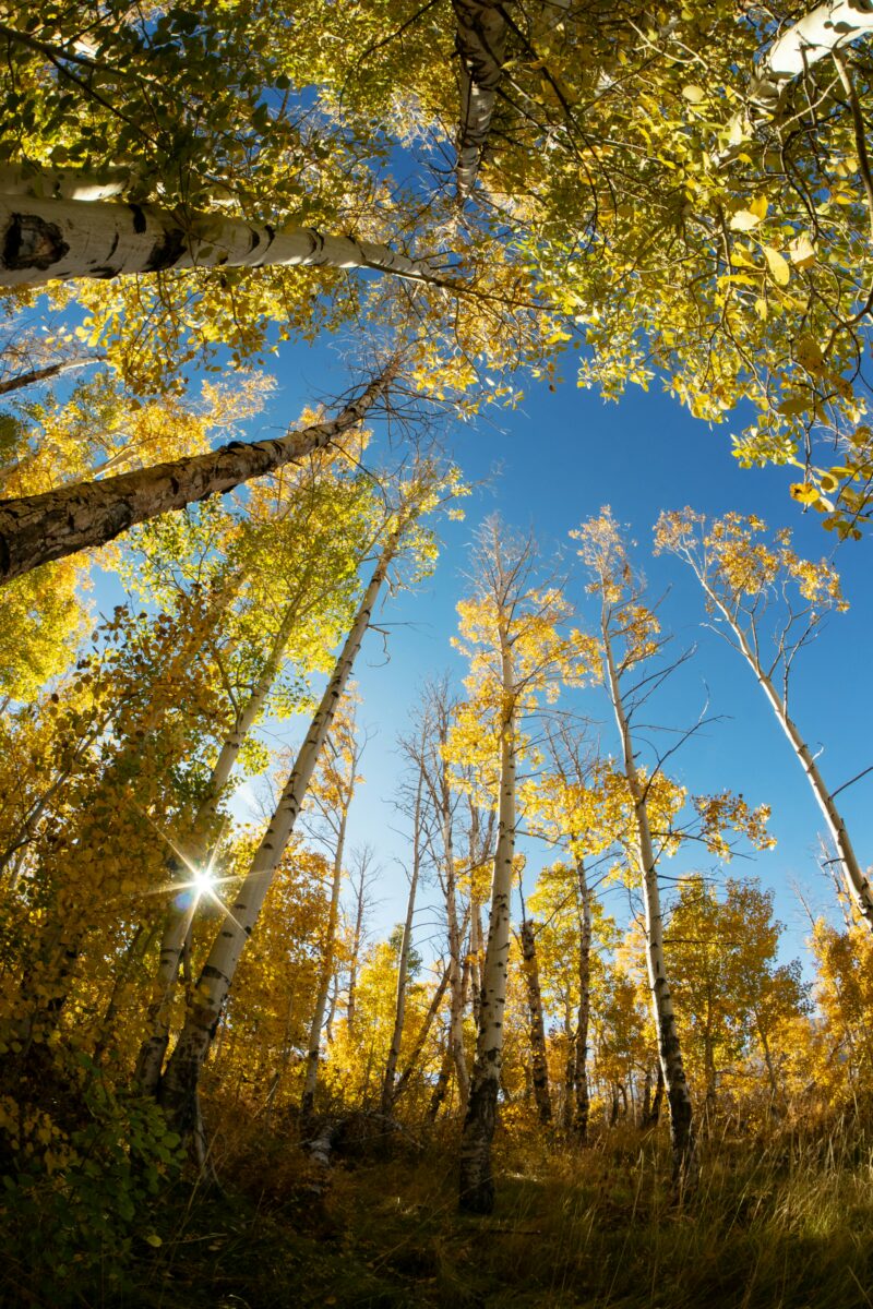
What makes this stretch different from other fall drives is the elevation spread. A single afternoon can take you from cottonwoods still green in the Owens Valley to aspen groves already dropping their leaves above 9,000 feet. That range means the color show stretches across several weeks instead of one short peak, but it also means timing your stops matters more than on a flatter route.
This guide covers the stops worth building a trip around: Bishop Creek Canyon, Rock Creek and McGee Creek, Convict Lake and Mammoth Lakes, the June Lake Loop, and the run from Lundy Canyon through Bridgeport. I'll also lay out a three-day route, where to find the best photo angles, and what to check before you drive.
Highway 395 Fall Road Trip: Best Stops & Fall Colors
When Do Fall Colors Peak Along Highway 395?
Color along Highway 395 typically runs from late September through late October, starting in the high country near Bishop and Mammoth and working its way down into the Owens Valley. The Eastern Sierra is usually the first part of California to turn each year, which places the region's peak window between late September and late October while the Northern Sierra and Tahoe area typically follow in October.
Weather swings the timing more than the calendar does. Warm days paired with cold, clear nights produce the most vivid color, while overcast stretches mute it, and a single hard freeze or windstorm can strip a canyon of leaves within days.
How Does Elevation Change the Peak-Color Window?
Higher elevations turn first, and the color then moves downhill over several weeks. As of October 7, 2026, South Lake at 9,768 feet was listed at 75-100% peak, while Bishop proper at 4,150 feet was still only patchy with 10-50% color. That same report noted the lower Owens Valley was just starting to turn, with golden tones only showing in the upper parts of the cottonwoods.
This lag gives you flexibility. If the high canyons near Bishop Creek have already peaked, the Owens Valley and lower Rock Creek Road often still have a week or two of color left.
How Can You Check Current Color Before You Drive?
Check a fall color report within a day or two of your trip, since conditions can shift quickly. Mono County publishes a weekly fall color report every Wednesday through the season, covering locations from Walker in the north down through June Lake and Mammoth. Bishop Creek Canyon has its own regularly updated color report covering specific pullouts and campgrounds along the canyon road. Both use a simple scale from “just starting” to “past peak,” which makes it easy to decide which stops to prioritize on short notice. You can also browse a California fall color map to compare timing across multiple regions before settling on your route.
Bishop Creek Canyon and North Lake
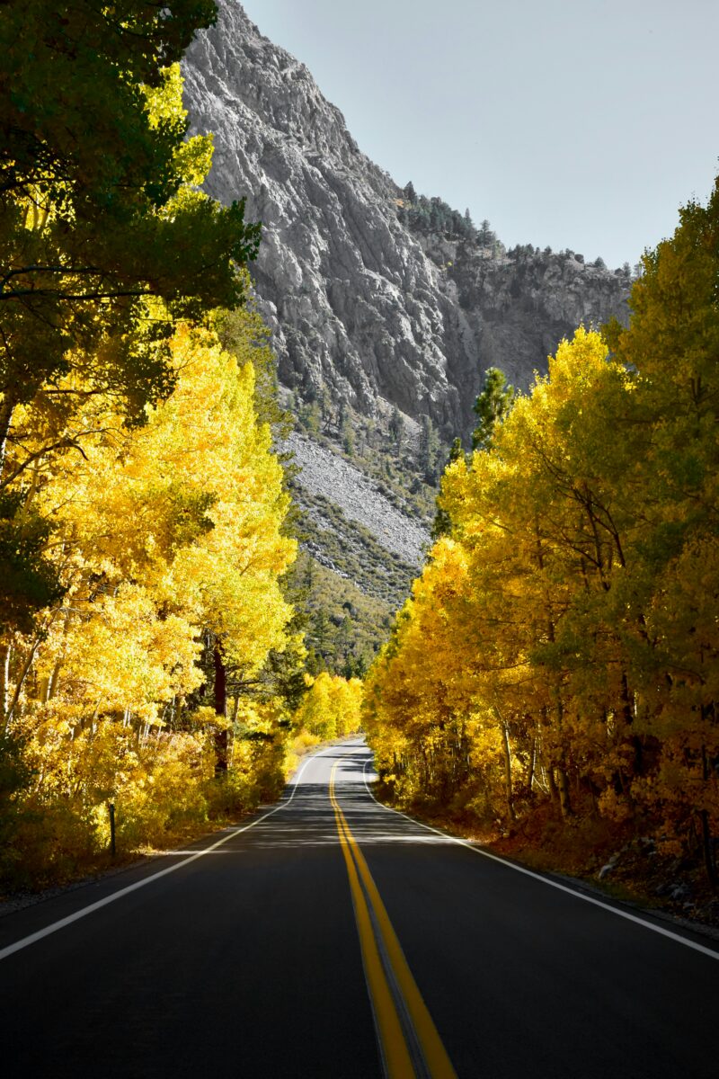
Bishop Creek Canyon is the most reliable aspen destination on this whole drive, with color spread across both the North Lake and South Lake roads. The canyon climbs from about 4,150 feet in Bishop to nearly 9,800 feet at South Lake, so you're driving through several color stages in under 20 miles.
Where Are the Best Aspen Groves Near North Lake?
The groves above Cardinal Village and around Aspendell hold some of the densest aspen stands in the canyon. The area above Cardinal Village was reported at 75-100% peak in early October 2026, with color stretching along the road into the village itself. The North Lake Road (State Route 168 West near Aspendell) is prone to seasonal closures, so check conditions before committing to that side of the canyon.
Should You Drive to Lake Sabrina or South Lake?
Both are worth the drive, but South Lake tends to hold color a little longer at its upper elevations. Lake Sabrina sits at 9,150 feet and was reported peaking in early October, though the report noted it was “almost past peak” and could turn fast. South Lake at 9,768 feet was also at peak the same week. If you only have time for one, South Lake's road passes more roadside pullouts and meadow views, including Weir Pond and Parcher's Resort, both reported at peak color that week.
Rock Creek Canyon and McGee Creek
Rock Creek Canyon offers some of the most dramatic high-elevation color on the whole route, with Rock Creek Road climbing steeply from the highway toward Rock Creek Lake. The canyon's aspens tend to turn in a tight window, so timing here matters more than at Bishop Creek.
What Can You See Along Rock Creek Road?
Rock Creek Road winds through dense aspen groves as it gains elevation, passing several campgrounds and trailheads before ending near Rock Creek Lake. Mono County's October 2026 report described the canyon as continuing to “show off,” though the higher elevations above Rock Creek Resort had already moved past peak. Lower Rock Creek Road, which splits off separately near Paradise, often lags a week or two behind, with its cottonwoods and aspens reported at a patchy 10-50% in early October.
When Is McGee Creek Worth the Detour?
McGee Creek is worth the short detour when you want a quieter alternative to the busier Rock Creek and Convict Lake stops. The road is short, dead-ending at a trailhead, so it works well as a quick add-on rather than a full afternoon. It sits just south of Convict Lake, making it easy to combine both into one stop along your highway 395 road trip.
Convict Lake and Mammoth Lakes
Convict Lake pairs turning aspens with a dramatic backdrop of jagged peaks, making it one of the most photographed stops on the route. Mammoth Lakes Basin, just up the road, adds several more lake-and-aspen combinations within a short drive of town.
Where Can You See Color Around Convict Lake?
The lakeshore trail circles the water and passes through aspen groves that frame the surrounding ridgeline. The lake sits at an elevation of about 7,850 feet, which puts its color window a bit later than the highest parts of Bishop Creek or Rock Creek canyons. It's an easy stop directly off the highway, with parking near the lake and a short, flat walk to the water.
Which Mammoth Lakes Basin Stops Are Worth Your Time?
Twin Lakes, Lake Mary, and Lake George all sit within the Mammoth Lakes Basin and offer aspen color against granite backdrops. Mammoth Mountain towers over the basin and is accessible by the same road system, though its own slopes are better known for winter sports than fall foliage. If you're combining a color stop with a broader visit, Mammoth Lakes has enough lodging and dining options to work as an overnight base, and anyone curious about the resort's winter side can look into skiing and snowboarding in Mammoth Lakes for context on the area beyond fall.
June Lake Loop
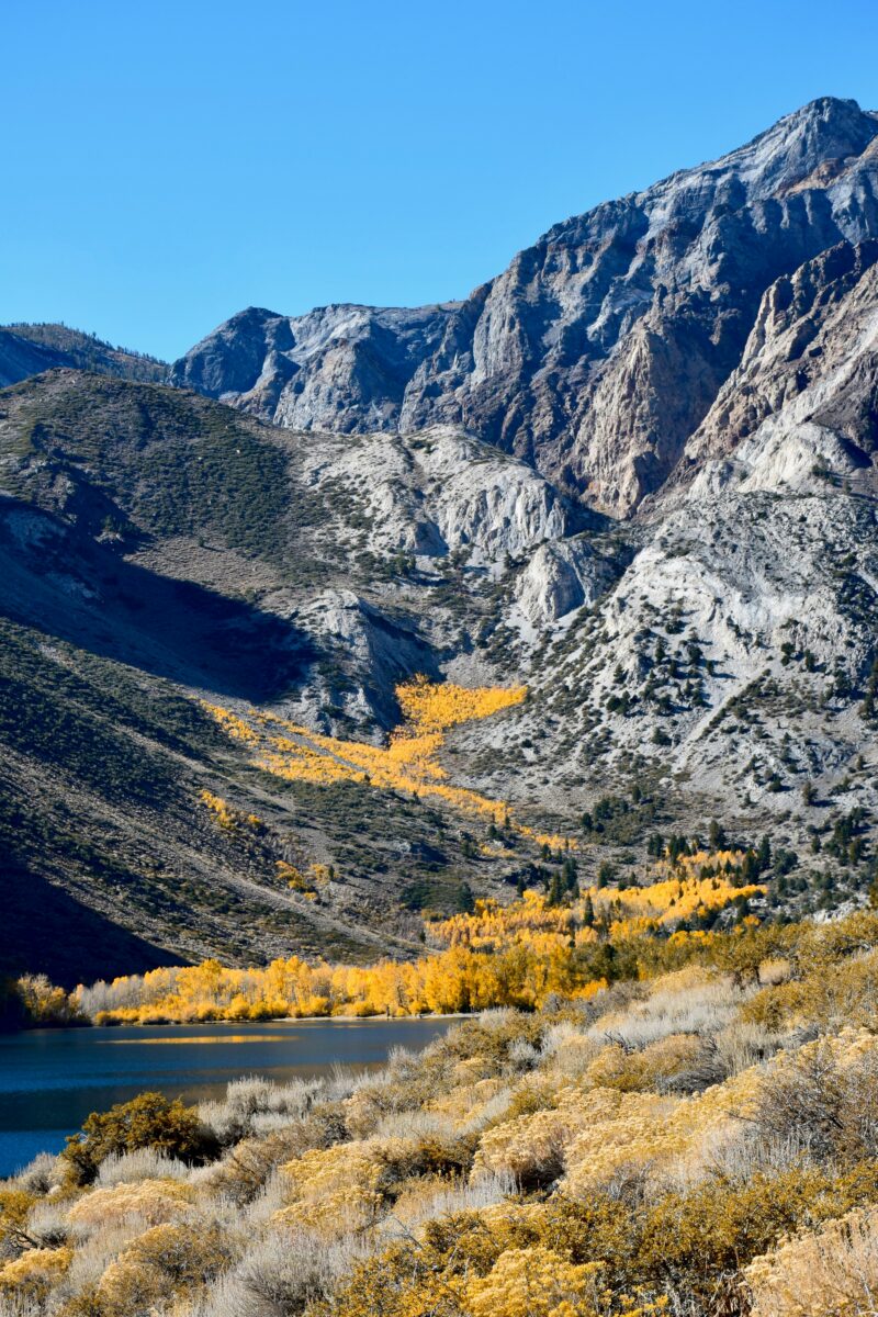
The June Lake Loop (State Route 158) is a 16-mile detour off Highway 395 that strings together four lakes against a backdrop of steep granite walls. It's one of the most compact, high-reward stretches on the entire route, with aspen color visible from the car for much of the drive.
Which Lakes Make the Best Foliage Stops?
Gull Lake and Silver Lake tend to show the strongest color, with groves framing the water on several sides. Mono County's October 2026 report described the hillsides coming down to Grant Lake as showing “blazes of orange,” while areas around Silver Lake had turned a bright yellow-green. Rush Creek, which feeds through the loop, adds another pocket of color worth a short stop. The town of June Lake itself sits along the loop and makes a convenient rest stop, and you can get a fuller sense of the area's layout from June Lake, California.
How Much Time Should You Allow for the Loop?
Plan on one to two hours if you want to stop at each lake without rushing. The loop is short enough to drive straight through in 20 minutes, but the pullouts at Gull Lake and Silver Lake are worth lingering at for photos. If your schedule allows, early October 2026 brought the Leaves in the Loop festival to June Lake, running October 9 through 11 with live music, a pumpkin patch, and a photography contest.
Lundy Canyon and Bridgeport
Lundy Canyon is one of the most dramatic color stops on the northern half of the route, with aspens lining a waterfall trail and a string of old beaver ponds. From there, the highway continues north through Conway Summit toward Bridgeport, passing several more detours worth considering.
Where Should You Stop Between Lee Vining and Bridgeport?
Lundy Canyon, Conway Summit, and Virginia Lakes are the three main stops on this stretch. Mono County's October 2026 report described the upper part of Lundy Canyon as “literally glowing” along the hiking trail, with color also spreading around Lundy Lake and down Mill Creek. Conway Summit, at 8,143 feet, was reported near peak the same week, while Virginia Lakes at 9,819 feet was called a “last call” for the season. Mono Lake sits just off the highway near Lee Vining and makes an easy stop regardless of leaf timing, since its tufa towers and shoreline don't depend on foliage at all.
Which Northern Detours Are Worth Adding?
Bodie State Historic Park is the standout detour north of Bridgeport. The park sits 13 miles east of Highway 395 on State Route 270, with the final three miles on unpaved road, and charges an $8 adult entry fee as of its 2026 posted rates. The drive out to Bodie also passes through hills that carry their own patchy gold color in fall, separate from the aspen groves along the highway itself.
A Three-Day Route from Bishop to Bridgeport
A three-day route from Bishop to Bridgeport covers roughly 150 miles of Highway 395, with each day built around a cluster of nearby stops rather than long highway stretches. This pace leaves room to adjust based on which canyons are peaking when you arrive.
Day 1: Bishop Creek and Rock Creek
Start the morning in Bishop Creek Canyon, driving both the South Lake and Lake Sabrina roads before midday crowds build. In the afternoon, head north to Rock Creek Canyon for a shorter detour up Rock Creek Road. Overnight in Bishop or Mammoth Lakes, depending on how far you want to drive before stopping.
Day 2: Convict Lake, Mammoth Lakes, and June Lake
Begin at Convict Lake for an early walk around the shoreline, then continue into the Mammoth Lakes Basin for a loop past Twin Lakes and Lake Mary. In the afternoon, drive the June Lake Loop before continuing north. Overnight in June Lake or Lee Vining.
Day 3: Lundy Canyon and Bridgeport
Spend the morning at Lundy Canyon, hiking as far up the trail as time allows. Stop at Mono Lake on the way through Lee Vining, then continue north past Conway Summit and Virginia Lakes before finishing in Bridgeport. Add Bodie State Historic Park if you have a few extra hours.
What If You Have Time for Southern Detours?
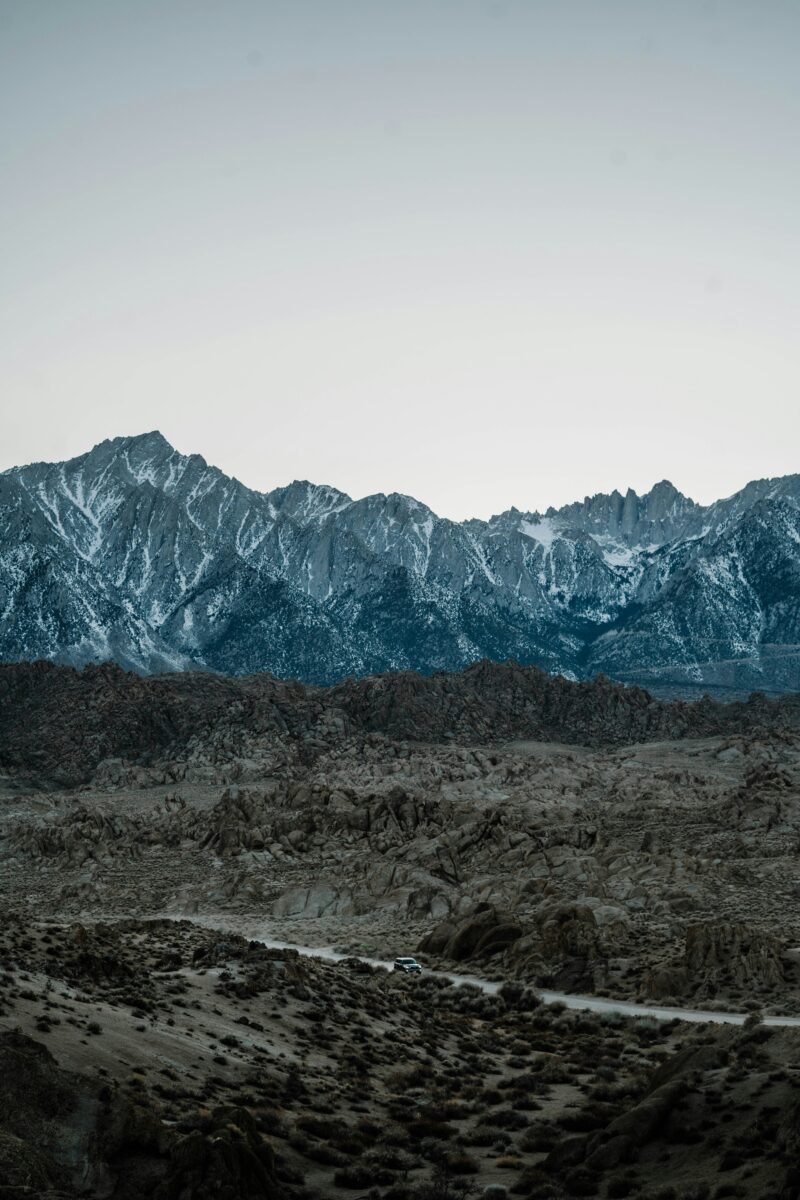
The Alabama Hills near Lone Pine and Mobius Arch are worth adding if you're extending south from Bishop, though they offer desert and granite scenery rather than aspen color. The arch sits within the Alabama Hills National Scenic Area, reached by turning off Highway 395 at Lone Pine onto Whitney Portal Road according to the Bureau of Land Management. Whitney Portal Road climbs toward Mount Whitney itself, and Red Rock Canyon State Park lies further south still, both better suited to rock formations and desert light than fall foliage.
Where Are the Best Fall Photography Spots?
The strongest fall photography along Highway 395 combines aspen color with water reflections or dramatic peaks in the background. Morning light tends to work best, since afternoon winds can stir up lake surfaces and blur reflections.
Where Can You Photograph Aspens and Lake Reflections?
North Lake, Lake Sabrina, and Convict Lake all pair turning aspens with still water early in the day. Gull Lake and Silver Lake on the June Lake Loop offer similar framing with less driving required. Parking is limited at several of these spots, so arriving early helps secure a pullout rather than walking a long distance back to your shot.
Where Can You Frame the Sierra Against Desert and Valley Landscapes?
Mobius Arch in the Alabama Hills frames Mount Whitney through a natural granite window, a composition that draws photographers from across the country. The Owens Valley and Owens River offer a different kind of shot, pairing golden rabbitbrush and cottonwood color with wide desert views and the Sierra crest rising behind them. These stops work well even outside peak aspen season, since the desert and mountain backdrop don't depend on leaf timing.
Where to Stay and How to Drive Safely
Basing yourself in one or two towns along the route cuts down on driving time and lets you chase color reports without repacking the car each night. Mammoth Lakes, Bishop, and Bridgeport each work well depending on which stretch of the highway you're focused on.
Which Town Makes the Best Overnight Base?
Mammoth Lakes offers the widest range of lodging and sits within easy reach of Convict Lake, the Mammoth Lakes Basin, and the June Lake Loop. Bishop works well for the first night if you're starting from the south, putting you close to Bishop Creek Canyon and Rock Creek. Bridgeport and Lee Vining both have smaller lodging options, including motels and lodges listed through the Lee Vining Chamber of Commerce, and work as a base for Lundy Canyon, Mono Lake, and Bodie. Mono County also maintains a full lodging directory covering hotels, cabins, and campgrounds across the region.
What Road and Weather Conditions Should You Check?
Check Caltrans road conditions before heading into the high canyons, since several side roads close seasonally or restrict traffic without much notice. As of October 13, 2026, Caltrans reported no traffic restrictions along the central and northern sections of Highway 395 itself, though one-way controlled traffic was in effect near Lone Pine due to emergency repairs. State Route 158 (the June Lake Loop) and State Route 270 (Bodie Road) both reopened from winter closure in March 2026, but Caltrans noted these roads can close again if weather conditions require it. Mountain weather shifts fast in fall, with the October 2026 Mono County color report warning of a sudden cold snap arriving right after a warm, summer-like stretch. Checking QuickMap or calling 1-800-427-7623 before setting out on any side canyon road is worth the extra few minutes, especially late in the season when an early storm can close a pass overnight.