NOAA California Weather Forecast: What’s Coming for the Rest of 2026?
I check the National Weather Service outlook most mornings before deciding what to wear, and this fall the maps look different than usual. NOAA's Climate Prediction Center points to a warmer-than-normal fall across most of California, with a strengthening El Niño raising the odds of a wetter winter for the southern half of the state. That combination shapes a lot of what comes next, from fire season timing to snowpack in the Sierra Nevada.
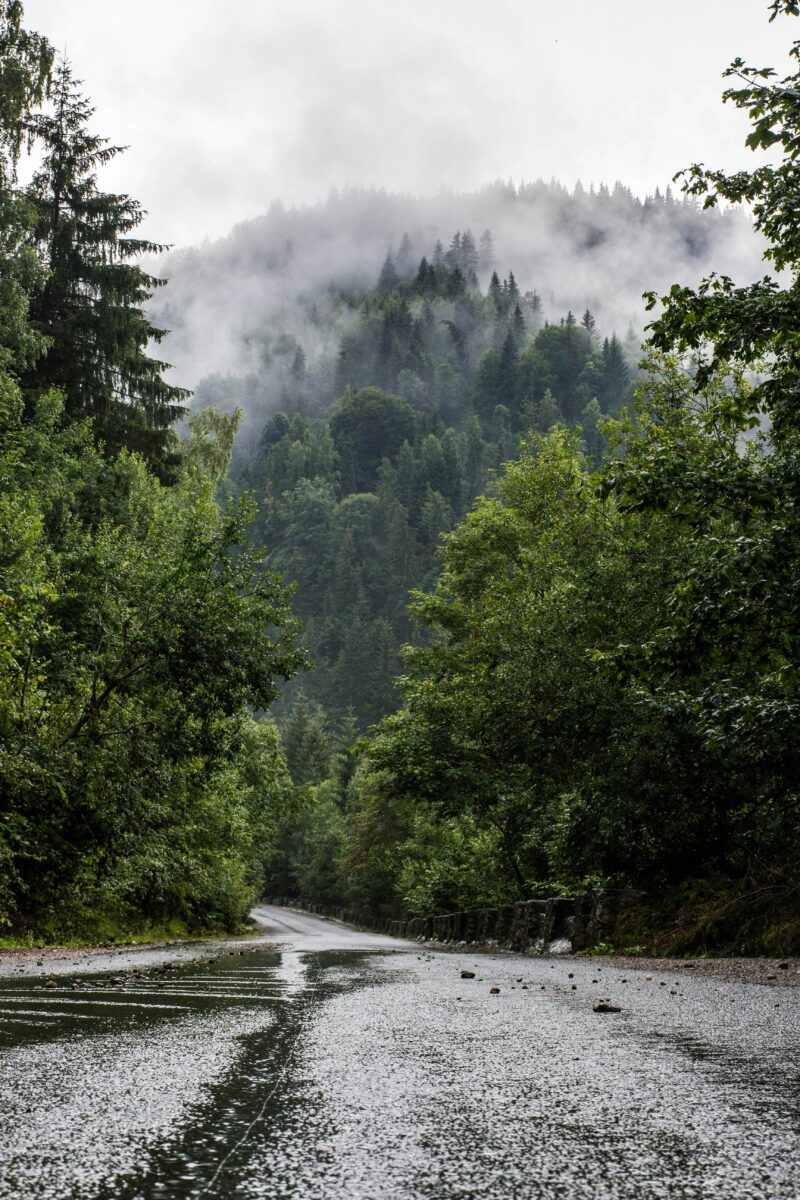
This matters because California weather swings hard between microclimates. A single afternoon can bring dry heat to the Central Valley, thick marine fog to the coast, and a mountain thunderstorm to the Sierra Crest, all at the same time. The Area Forecast Discussion from NWS Sacramento issued this week shows exactly that kind of split, with isolated storm chances along the Sierra Crest and breezy onshore winds reaching the Valley floor.
I'll walk through what the seasonal outlook actually says, where it comes from, and how to tell the difference between a broad three-month trend and a forecast for your own driveway. The National Weather Service publishes both, and knowing which one you're looking at changes how you plan a trip, a harvest, or a ski weekend. weather.gov is the place to check both, and PDT is the time zone stamped on most of the local products referenced here.
NOAA California Weather Forecast: What’s Coming for the Rest of 2026?
What NOAA Predicts for the Rest of 2026
NOAA's Climate Prediction Center favors above-normal temperatures across nearly all of California through the end of 2026, paired with better-than-even odds of above-normal rain for the southern half of the state. These are three-month trends, not day-by-day forecasts, and the National Weather Service is clear that they describe probabilities, not guarantees. weather.gov updates these seasonal outlooks monthly, so the picture can shift as new data comes in.
California Temperature Forecast for Fall and Winter 2026
Warmth is the dominant signal for California this fall and winter. The Climate Prediction Center's October-November-December outlook favors above-normal temperatures for most areas west of the Rockies, including California.
That warmth carries into the following months too. From November through April, the outlook keeps showing a “classic El Niño signature,” with the highest chances of above-normal temperatures over the interior Northwest and northern tier of states, while California's own tilt toward warmth is more modest and gradually gives way to equal chances by late winter.
A related factor is ocean temperature. A marine heatwave has been building off the California coast, with an 80 to 100 percent likelihood of continuing through the end of 2026. Warmer coastal water tends to keep nighttime lows higher along the coast, even when El Niño's influence inland is less obvious.
California Rainfall Forecast for Fall and Winter 2026
The October-through-December outlook favors above-normal precipitation for the southern half of California, extending east into the Four Corners region, according to the same Climate Prediction Center outlook. Northern California sits closer to equal chances during this window, meaning forecasters see no strong tilt toward wetter or drier than normal conditions yet.
This is a seasonal tendency, not a storm schedule. A three-month outlook can favor wetter conditions overall while still including stretches of dry, sunny weeks with no rain at all.
Will California Have a Wet Winter in 2026?
Southern California carries better odds of a wetter-than-normal winter, while Northern California's outlook is less certain. The strength of the current El Niño is a major reason. NOAA's Climate Prediction Center puts the odds of a very strong El Niño event above 90 percent for this fall and winter, with a 75 percent chance it becomes one of the most intense events on record dating back to 1950.
Strong El Niño winters have historically leaned wet for Southern California, though not every strong event behaves the same way. This year features an unusual wrinkle: a negatively phased Pacific Decadal Oscillation, which the Climate Prediction Center notes could dampen some of El Niño's typical effects along the West Coast.
How El Niño Could Affect California Weather in 2026
El Niño works by shifting the jet stream and storm track, often pushing more Pacific moisture toward Southern California and the Southwest. Sea surface temperature anomalies in the eastern equatorial Pacific have already exceeded 3.0°C, a sign of just how strong this event has become.
One side effect already visible is coastal sea level. El Niño-driven currents are expected to raise sea levels along the California coast by about a foot by mid-October. That has real consequences for coastal flooding and erosion risk well before winter storms even arrive.
Regional Impacts From the Coast to the Sierra
California's regional weather differences will be sharper than usual this fall and winter because of how El Niño and coastal ocean warmth interact with the state's terrain. Northern California faces a more uncertain rain outlook, patchy fog remains a coastal fixture, mountain thunderstorm chances linger into early fall, and fire weather concerns stay active until meaningful rain arrives, while winter weather in the Sierra depends heavily on storm track timing.
What Does the Outlook Mean for Southern California?
Southern California carries the best odds for a wetter, stormier winter this year. The combination of a very strong El Niño and above-normal precipitation odds in the Climate Prediction Center's outlook points toward an active storm season for the southern half of the state.
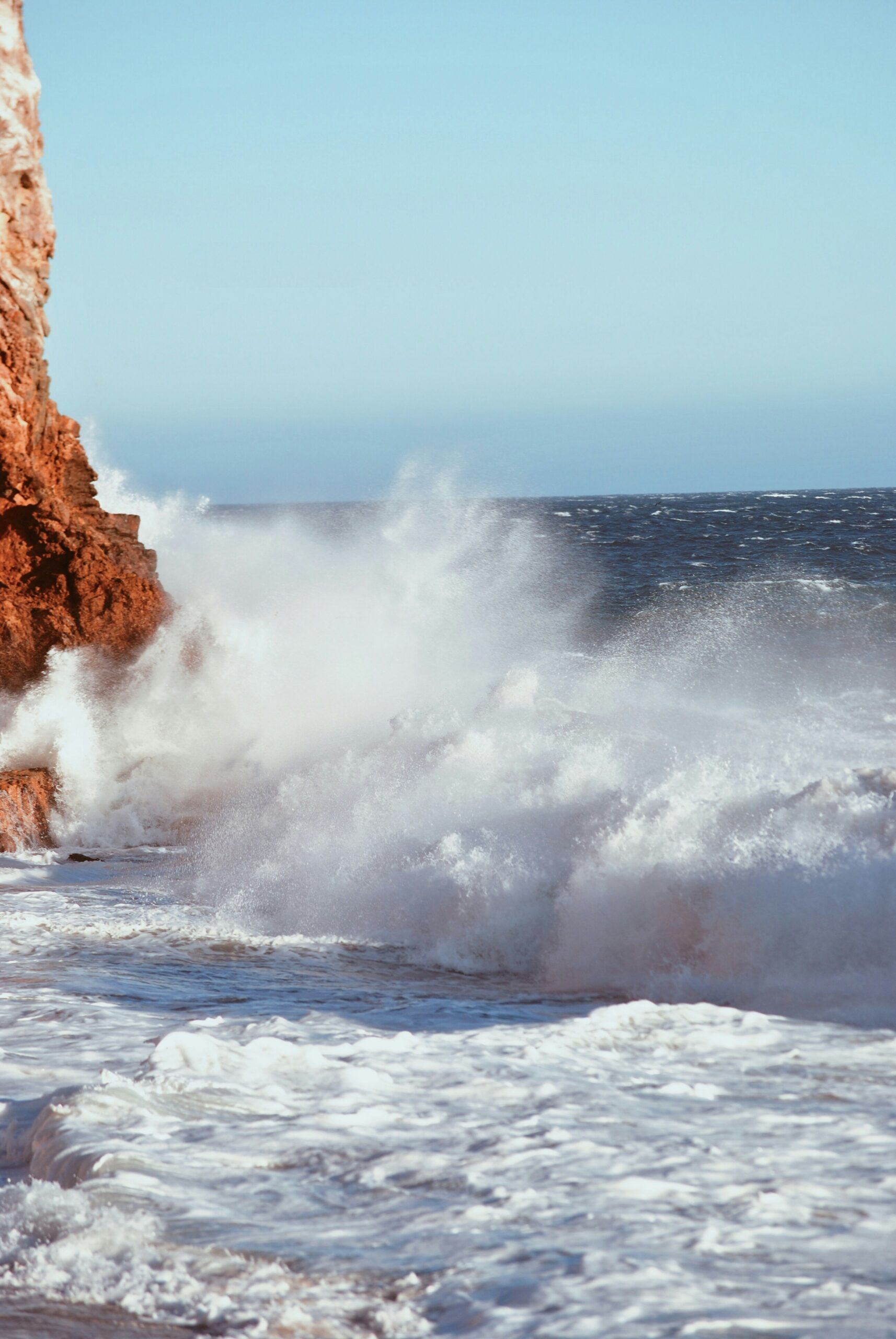
Coastal impacts are already showing up. A rare mix of a powerful El Niño, unusually high king tides, and climate-driven sea level rise could bring record coastal flooding to California's coast this winter. Beach erosion, big waves, and localized flooding are realistic concerns for coastal communities from Santa Barbara to San Diego.
Warmer temperatures favor Southern California too, keeping desert and inland valley heat lingering later into fall than usual.
What Does the Outlook Mean for Northern California?
Northern California's rain outlook is closer to a coin flip than Southern California's. The Climate Prediction Center's seasonal maps show equal chances of above- or below-normal precipitation for much of Northern California this fall, a more neutral signal than the wetter lean farther south.
That doesn't mean Northern California avoids weather. The NWS Sacramento forecast discussion from this week described breezy onshore winds, scattered clouds moving across the region, and morning marine layer clouds pushing into the Sacramento Metro before burning off by midday. That kind of day-to-day variability is normal for Northern California even during a strong El Niño.
Coastal fog remains a defining feature of Northern California mornings through fall, especially near the Bay Area and North Coast, before winter storm systems begin arriving more regularly.
What Does the Outlook Mean for the Sierra Nevada?
The Sierra Nevada sits at the center of California's water story, and this winter's snowpack will depend heavily on storm track and snow level, not just total precipitation. Coastal California looks likely to rank among the warmest winters on record, but the central and southern Sierra Nevada show closer to normal temperatures. That near-normal temperature signal matters because it raises the odds that Sierra storms fall as snow rather than rain, even during a wet El Niño winter.
Isolated mountain thunderstorms remain possible into early fall along the Sierra Crest, as recent NWS forecast discussions have noted, before the seasonal transition to winter storm patterns takes hold. Anyone planning a fall trip to the Sierra Nevada should watch for these afternoon storm chances before winter travel planning begins in earnest.
Snow, Water, and Fire-Weather Signals for Winter 2026–2027
Winter 2026 to 2027 carries three connected storylines: how much snow piles up in the mountains, how that snow and rain refill water supplies, and how long dry, windy fire weather lingers before storms take over. Each depends on timing as much as total precipitation.
California Snow Forecast for Winter 2026–2027
Sierra Nevada snow totals this winter will hinge on storm track placement more than on El Niño strength alone. A strong El Niño tends to favor a more southern storm track, which can deliver heavy precipitation to the southern Sierra Nevada while leaving the northern Sierra Nevada more variable.
Snow level, the elevation where rain turns to snow, will be just as important as total moisture. Warmer years can push snow levels higher, turning what would be a heavy snow event into a rain event at lower and mid elevations. The Weather Prediction Center tracks these kinds of details through its winter weather forecast tools, including snowfall probability maps updated for short-term windows.
Readers tracking conditions for ski trips or winter travel can follow seasonal snow totals through resources like the California snow report, which tracks conditions as storms arrive.
Why Precipitation Timing Matters for Water Resources
California's reservoirs and snowpack depend on when rain and snow arrive, not just how much falls over the season. A wet fall followed by a dry midwinter leaves a different water picture than a dry fall followed by a series of strong storms in January and February.
Water resources planning in California relies on the state's system of reservoirs, which capture runoff through spring. If El Niño delivers its expected wetter pattern to Southern California but a more neutral pattern to Northern California, the state's major reservoirs (many of which sit in Northern and Central California) may not see the same boost that Southern California's smaller water systems do.
This is one reason water managers watch the Sierra Nevada snowpack as closely as rainfall totals. Snow that melts gradually through spring provides a steadier water supply than a single large rain event that runs off quickly.
How Wind, Heat, and Dryness Shape Fire-Weather Risk
Fire weather risk in California depends on the overlap of dry vegetation, low humidity, and wind, and all three can persist even during a wetter-than-normal outlook. Above-normal fall temperatures, which NOAA favors for California this year, keep vegetation drier for longer before winter rains arrive.
Wind direction matters as much as wind speed. A west wind off the Pacific typically brings cooler, moister air to coastal areas, while a southwest wind can draw in warmer, drier conditions depending on the pattern. Offshore wind events, when wind reverses and blows from inland toward the coast, are historically the most dangerous fire-weather setups in California, since they combine low humidity with strong, sustained gusts.
The fire-weather season doesn't end on a fixed date. It ends when meaningful, widespread rain arrives and stays, which is why an El Niño-influenced wet pattern in Southern California could shorten fire season there, even as parts of Northern California wait longer for their first soaking storm.
California Weather Outlook for Early 2027
The Climate Prediction Center's outlook for January through March 2027 keeps a recognizable El Niño pattern in place, with wetter conditions favored across much of the southern United States and above-normal temperature odds continuing across large sections of the country. For California, that generally means the wetter lean in the south and the more neutral pattern in the north persist into early 2027, though the signal for California specifically becomes less pronounced by late winter, as the Climate Prediction Center's own discussion notes for the February-through-April period.
Early spring 2027 is when California typically sees its transition out of the wet season, and that transition's timing will shape both water supply totals and the start of the next fire season.
How to Track Official Forecast Updates
Following California weather through the rest of 2026 and into 2027 means using two different types of NOAA products for two different jobs. The Climate Prediction Center's seasonal outlooks show broad trends over months, while National Weather Service local offices and weather.gov provide short-term, location-specific forecasts, graphical maps, and radar that show what's happening right now.
How to Read NOAA Graphical Forecasts
Graphical forecasts turn National Weather Service data into interactive maps showing temperature, wind, and precipitation chances for specific points. The NOAA graphical forecast for Southern California lets users click anywhere on the map to pull a forecast for that exact location, which is useful given how much conditions can vary between the coast, inland valleys, and mountains in a single county.
These maps update multiple times a day and reflect the latest model data, unlike the seasonal outlook, which updates monthly.
When Radar and a Detailed Forecast Matter Most
Radar and a detailed hour-by-hour forecast matter most in the 24 to 72 hours before a storm, when seasonal outlooks are too broad to be useful. The NWS Sacramento area forecast discussion from September 21 is a good example: it flagged isolated Sierra Crest thunderstorm chances, radar-detected storm development near Mono County, and a specific afternoon window (3 to 8 p.m. PDT) when instability would peak.
That kind of detail never shows up in a seasonal outlook. It only comes from checking a local forecast office's short-term products, which the National Weather Service publishes for offices covering Los Angeles, Sacramento, and other California regions through weather.gov.
For fire-weather-sensitive planning, keeping an eye on local watches and warnings issued through the National Weather Service is the most reliable way to catch red flag conditions before they escalate. Readers heading into the Sierra National Forest or other mountain areas can pair this local forecast data with current California travel news to check for road or access impacts tied to weather.
Why a Map Update Can Change Your Local Plan
A single map update can shift a forecast enough to change travel or outdoor plans, especially in the mountains or along the coast. Sierra Nevada storm tracks can shift by just a few dozen miles and turn a heavy snow forecast for one mountain pass into a lighter event, or vice versa.
Coastal fog and marine layer forecasts change quickly too. The NWS Sacramento discussion noted low clouds developing in the Bay Area and shifting inland toward Sacramento and Stockton, a pattern that can clear by midmorning or linger longer depending on how the marine layer behaves that specific day.
Checking the latest graphical update or detailed forecast before heading into Northern California's coastal zones, the Sierra Nevada high country, or fire-prone inland valleys is the most reliable way to match a plan to the conditions actually expected, rather than relying on a broad seasonal trend alone.