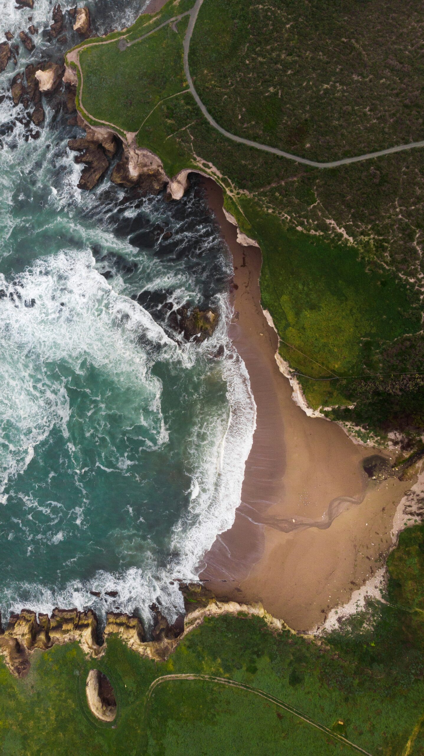
California Beaches Damaged by Hurricane Marie: 2026 Beach Erosion
Sand disappeared overnight along parts of the Long Beach Peninsula. Backyard patios in Malibu cracked open. A parking lot in Seal Beach turned into a shallow lake. None of this happened because a hurricane rolled ashore. Hurricane Marie stayed far out in the Pacific Ocean, yet its swell reached into Southern California with enough force to reshape beaches from Los Angeles County down through Orange County.
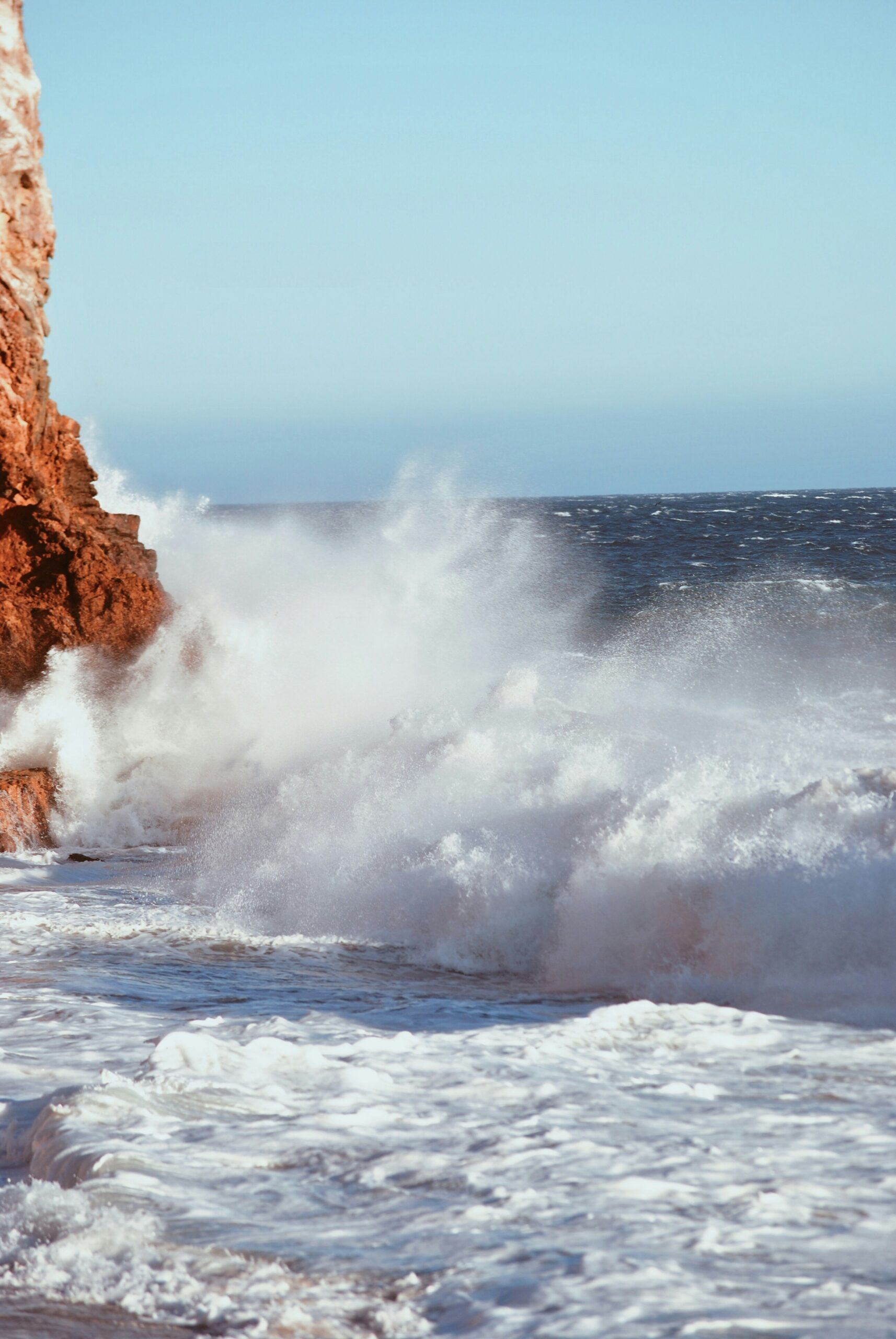
The timing made it worse. Marie's biggest waves arrived over Labor Day weekend, when beaches were packed and high tides were already running elevated. The combination of powerful surf and unusually high water pushed past normal sand buffers, flooding streets, undermining a seawall on the Long Beach Peninsula, and opening a sinkhole on a Malibu property.
Southern California beaches have seen big surf before. What made this stretch of coastal erosion notable was how fast it moved from a surf story into an infrastructure story, with evacuations, red-tagged homes, and questions about what the next big swell, or a strong El Niño winter, could do to beaches already stripped of protective sand.
California Beaches Damaged by Hurricane Marie: 2026 Beach Erosion
What Hurricane Marie Did to the Coast
Hurricane Marie never made landfall in California, but its offshore swell sent waves and water levels high enough to flood streets, damage homes, and strip sand from beaches across the region. The storm stayed hundreds of miles out to sea, yet the ocean energy it generated traveled far enough to hit the Southern California coast directly.
The National Weather Service tracked the threat closely, issuing a high surf advisory and a coastal flood advisory for much of the coastline as the swell built through the holiday weekend, according to a National Weather Service warning covering Marie's expected effects. Forecasters flagged coastal flooding, dangerous rip currents, beach erosion, and large waves as the main hazards.
How Offshore Swell Produced Massive Waves and Dangerous Surf
Swell is energy moving through open ocean water, and Marie generated a lot of it. As the storm churned in the eastern Pacific, it pushed massive waves toward the coast that arrived as surf reaching roughly 10 feet in Los Angeles and Orange counties.
That surf built into dangerous conditions fast. Rip currents formed along multiple beaches, and officials closed stretches of shoreline as the powerful surf intensified through the weekend, prompting beach closures and health advisories.
Why High Tides Made Beach Loss and Coastal Flooding Worse
Waves alone did not cause most of the damage. The bigger problem was timing: Marie's swell arrived on top of already elevated tides, a combination one report described as “higher-than-high tides” meeting tropical-storm-charged waves.
When high tides and high surf overlap, water reaches areas that normally stay dry. That pushed flooding into parking lots, streets, and yards, and it accelerated coastal erosion by letting waves reach dunes and berms that would otherwise sit above the water line.
Where Beach Damage, Flooding, and Evacuations Hit Hardest
Beach damage from Hurricane Marie was not spread evenly. It concentrated in south-facing communities exposed directly to the swell, running from the Long Beach Peninsula through Malibu and down into Orange County's beach towns.
Long Beach Peninsula and Alamitos Peninsula Flooding
The Long Beach Peninsula took some of the most direct damage anywhere on the coast. Pounding surf compromised the peninsula's seawall, and the Long Beach Fire Department oversaw the evacuation of about 20 homes as flooding damaged streets and properties. Crews deployed pumps and sandbags to hold back water.
Damage spread across several specific spots:
- Seaside Walk and Ocean Boulevard saw flooding reach homes and roadways.
- A playground on 67th Place was damaged by pounding surf.
- Berms meant to buffer homes from waves washed out along parts of the Alamitos Peninsula.
- Oceanfront homes along both peninsulas faced foundation and structural concerns as waves tore at their base.
Readers following storm patterns across the region can find more context in this look at Southern California's 2026 hurricane season.
Malibu, Zuma Beach, and the Sea Level Drive Sinkhole
Malibu's coastline absorbed some of the most visually dramatic damage from the storm. A sinkhole and gas leak opened at a Malibu property along the Lechuza Beach and Sea Level Drive area, triggering an evacuation order and the red-tagging of 31 homes.
Nearby, erosion reshaped parts of the coastline overnight. Severe erosion left eight-foot drop-offs along the bluffs at Point Dume Beach, forcing officials to close road access.
Zuma Beach and Westward Beach saw closures tied to the same surf and rip current hazards affecting the rest of Malibu's shoreline. Pacific Coast Highway access points near the damaged bluffs were limited as crews assessed road stability.
Orange County Impacts From Seal Beach to Aliso Beach
Orange County's beach towns saw flooding, pier hazards, and eroded parking areas up and down the coast. In Seal Beach, flooding swamped a seaside parking lot near the Seal Beach Pier, with ocean water reaching close to homes. Readers can find more on the area in this guide to Seal Beach.
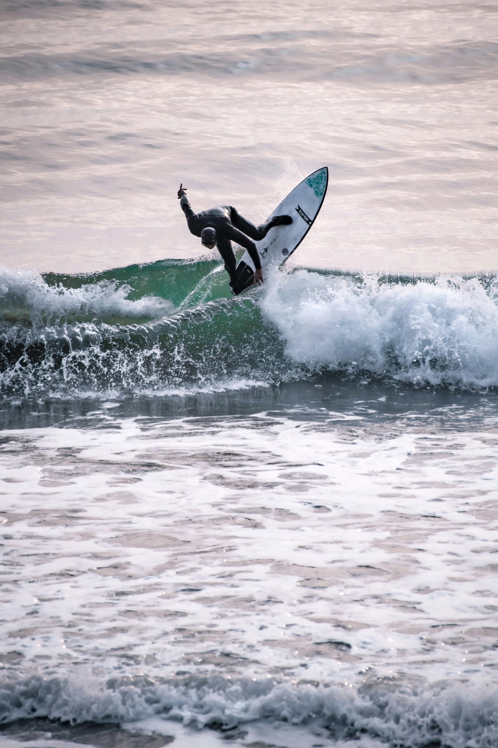
Newport Beach saw hazardous surf at The Wedge, a well-known bodyboarding and surfing spot, where high surf swept a surfer over a jetty during the height of the swell.
Laguna Beach's Aliso Beach lost significant sand to erosion. The damage uncovered remnants of a pier that extended off the beach decades ago and reached into the parking lot. Dana Point also reported at least 14 damaged beachfront homes, with about a dozen deemed uninhabitable. Los Angeles County and Orange County officials continued assessing damage into the following week.
Why Erosion Created an Infrastructure Emergency
Beach erosion from Hurricane Marie turned into an infrastructure problem because sand does more than make a beach pleasant to walk on. It acts as a buffer that absorbs wave energy before it reaches roads, storm drains, and building foundations. When that sand washes out fast, the systems behind it take the hit directly.
How Washed-Out Sand, Storm Drains, and Seawalls Raised Risks
Storm drains along the coast are built to move rainwater out to sea, not to hold back incoming ocean water. When high tides and powerful surf pushed water inland faster than drains could handle it, flooding backed up into streets and parking lots in Seal Beach, Long Beach, and other low-lying spots.
Seawalls and berms are the coast's main defense against this kind of surge. Long Beach's seawall was compromised by the pounding surf, which let water push further into residential streets than usual. Once a berm or seawall fails in one section, water finds the weakest points nearby and widens the damage.
Beach nourishment, the practice of trucking in or pumping sand back onto a beach, helps rebuild that buffer. It works best as a repeated, long-term commitment rather than a single fix, since large swells can strip newly placed sand within days.
What High-Tide Damage Means Before a Potential El Niño Winter
High tides made Marie's swell more damaging than it would have been on a normal tide cycle, and that pattern raises concern heading into winter. A strengthening El Niño carries a high risk of record sea levels and severe coastal flooding for the California coast this winter.
Beaches that lost sand to Marie now have less natural buffer heading into a season that could bring more high-surf events. Coastal erosion tends to compound: each storm that hits a narrowed beach does more damage than the last storm did, because there is less sand left to absorb the impact.
Beach Safety, Access, and Recovery After the Swell
Beach safety after Hurricane Marie depends on checking current advisories before heading to the coast, since surf and flooding risks can linger well after a storm's peak. The National Weather Service continued to track hazards along the Southern California coast into the week following Labor Day, with high surf and flooding still affecting communities on Tuesday.
How to Read Advisories and Avoid Rip Current Hazards
A high surf advisory means waves are expected to reach heights that can knock people down or sweep them off rocks and jetties. A coastal flood advisory means ocean water is expected to reach areas that are normally dry, including roads and parking lots near the shore.
Rip currents are one of the most dangerous hazards tied to these advisories. They form as narrow channels of water pulling away from the beach, often near jetties, piers, or breaks in a sandbar. Swimmers caught in a rip current should swim parallel to shore to escape the pull, rather than fighting straight against it.
Before visiting any beach during an active advisory:
- Check the latest National Weather Service coastal advisories for the specific beach.
- Avoid swimming near jetties, piers, or river mouths, where rip currents concentrate.
- Watch for posted rip current flags or lifeguard warnings at the beach entrance.
- Keep well back from bluffs or eroded drop-offs, since edges can give way without warning.
What Residents and Visitors Should Watch for Along Damaged Shores
Damaged shoreline areas carry hazards beyond the water itself. Eroded bluffs, like the eight-foot drop-offs seen at Point Dume Beach, can collapse further without warning, so fenced or closed sections should stay off-limits even after surf calms down.
Parking lots and walkways near Aliso Beach, Seal Beach, and the Long Beach Peninsula may stay closed during cleanup and inspection. Oceanfront property owners in evacuated zones should follow local guidance before returning, since some homes remain red-tagged pending engineering review. Those planning a coastal trip elsewhere in the state can check conditions through this roundup of California coastal boardwalks for beaches outside the most affected zones.