Hurricane Southern California 2026: Latest Forecast & Path
Southern Californians checking the sky this week have good reason to ask what is happening offshore. Two named systems, Hurricane Karina and Tropical Storm Lowell, are active in the eastern Pacific as of late August 2026, and both are drawing attention from forecasters and residents alike. No hurricane has ever made landfall in California in recorded history, and the current National Hurricane Center forecasts do not show Karina or Lowell making direct landfall on the Southern California coast.
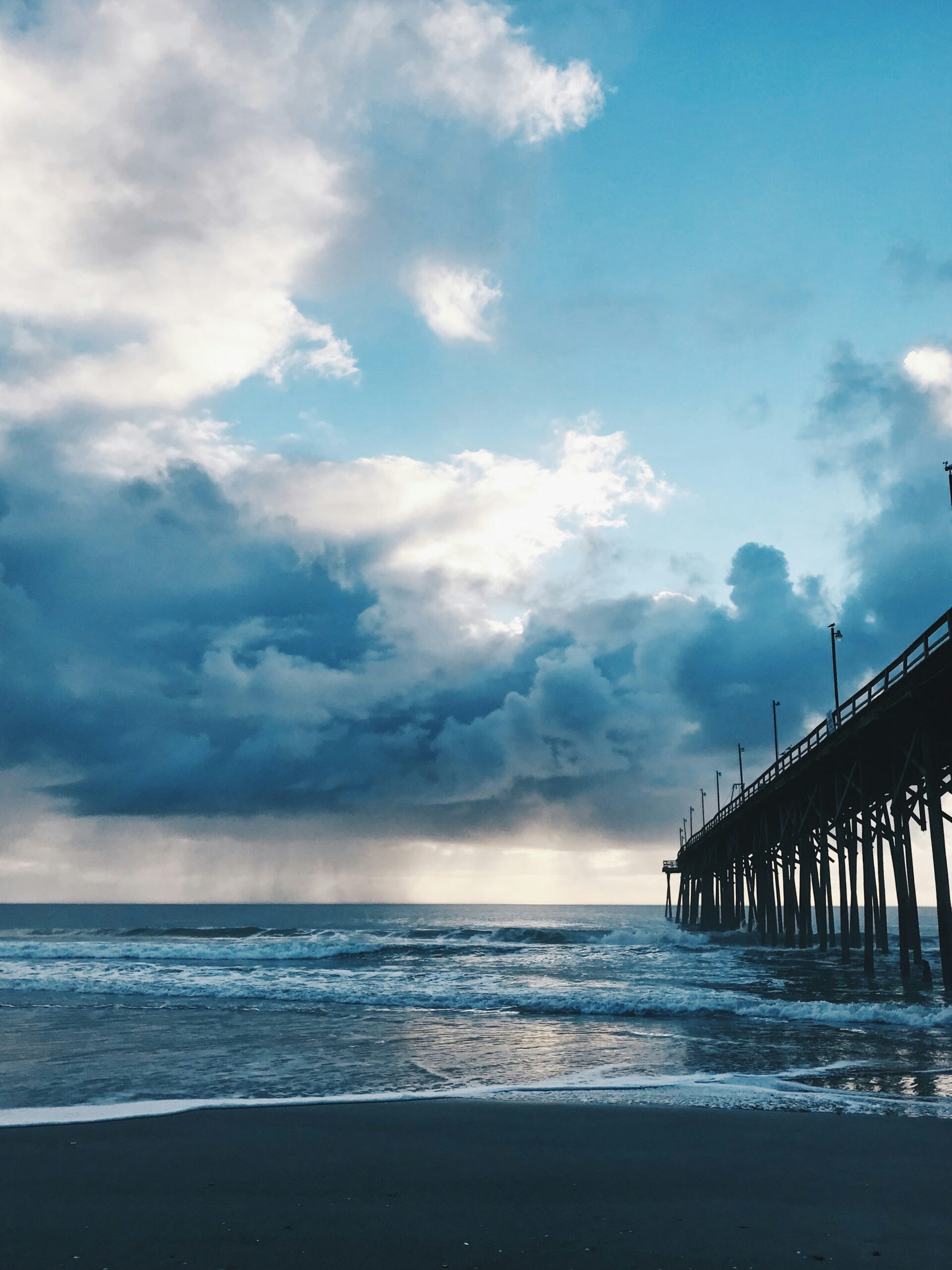
That does not mean the region is untouched. Offshore Pacific storms often send heavy swells, rip currents, and moisture into California even when their centers stay hundreds of miles away. Karina, a major hurricane as of August 31, and Lowell, a tropical storm, are both being watched closely for how their remnant moisture and surf could reach the coast in the coming days.
Southern California residents planning beach days, canyon drives, or a Highway 1 road trip this week can find grounded, updated details below on where these storms stand, what they could bring, and how to plan around them without overreacting to distant systems.
Hurricane Southern California 2026: Latest Forecast & Path
Is a Pacific Storm Headed Toward Southern California?
No tropical cyclone is currently forecast to make direct landfall in Southern California, though two active systems, Hurricane Karina and Tropical Storm Lowell, are generating renewed attention because of their strength and positioning in the eastern Pacific. Both storms formed within days of each other in late August, and forecast models have shown a range of possible tracks that keep meteorologists and residents watching closely.
The Latest Position and Forecast Track for Karina and Lowell
Karina developed on August 27, 2026, and quickly intensified into a major hurricane, reaching peak sustained winds near 120 knots (about 138 mph) and a minimum pressure of 945 millibars, according to the National Hurricane Center's eastern Pacific tropical cyclone reports. Lowell formed the same week as a weaker tropical storm, with winds around 50 knots.
Both systems are being tracked under active advisories from the National Hurricane Center and Central Pacific Hurricane Center. Forecast tracks published through August 31 show Karina curving over open Pacific waters, with some longer-range models suggesting possible influence on the Southwest as the storm weakens and interacts with the jet stream.
Could a Tropical Cyclone Make Landfall in California?
A direct hurricane landfall in California remains historically rare. The National Weather Service has noted that no hurricane has ever struck the state directly, and the last tropical storm to make a direct impact was in 1997, according to reporting on Karina's forecast track. Cold ocean water off the California coast typically weakens tropical systems well before they reach shore, which is why most Pacific hurricanes recurve out to sea or dissipate before ever threatening land.
Some computer models have shown potential tracks that bring Karina's remnants closer to the Southwest, and forecasters have said the storm could still strengthen further before any weakening begins. Official forecasts from the National Hurricane Center remain the only reliable source for confirmed track changes, since early model spread is common with systems this far out.
When Could Southern California See Effects?
Any indirect effects from Karina or Lowell, such as elevated surf or humidity, would likely arrive within the next several days to a week, based on current forecast positioning as of August 31. Southern California is more likely to feel swells and moisture from these storms than direct wind or rain from a landfall.
Timing will depend on how quickly each storm weakens and how far north any leftover moisture tracks. Coastal residents should watch updates rather than assume a fixed date, since Pacific storm tracks can shift within 24 to 48 hours.
What the 2026 Pacific Hurricane Season Has Produced So Far
The 2026 eastern Pacific season has been active, with 12 named storms recorded through August 31, three more than the 1991-2020 average, according to National Hurricane Center data. Of those, three reached hurricane strength and two became major hurricanes.
| Storm | Type | Peak Winds (kt) | Dates (2026) |
|---|---|---|---|
| Amanda | Tropical Storm | 45 | Jun 2-7 |
| Fausto | Hurricane | 90 | Jul 19-29 |
| Genevieve | Major Hurricane | 140 | Jul 24-Aug 2 |
| Karina | Major Hurricane | 120 | Aug 27-31 |
| Lowell | Tropical Storm | 50 | Aug 27-31 |
The season's total accumulated cyclone energy sits about 1 percent above normal, and no direct deaths or U.S. damage have been recorded from any 2026 eastern Pacific storm as of the latest update. Earlier storms this season, including Fausto and Genevieve, already sent large swells toward California without making landfall, a pattern forecasters expect to continue with Karina and Lowell.
What Impacts Could Reach Southern California?
Southern California's most likely storm-related impacts this week are rough surf, rip currents, and localized humidity increases rather than direct wind or flooding from a landfall. These effects come from Karina and Lowell's outer influence, not a confirmed direct hit.
Will Southern California Get Rain From the Storm?
Direct rainfall from Karina or Lowell is not currently expected in Southern California, since both storms remain well offshore in the eastern Pacific. Moisture from weakening tropical systems can occasionally stream northward and add humidity or isolated showers, but forecasters have not indicated a rainfall threat tied to these two systems as of August 31.
Past storms, including the 2023 remnants of Hurricane Hilary, have shown how a weakening tropical system paired with an active El Niño pattern can bring heavier rain to the region than typical Pacific storms, according to coverage of that season's El Niño conditions. That kind of setup is being watched again this year as forecasters track El Niño's influence on the 2026 season.
Which Coastal, Mountain, Desert, and Inland Areas Are Most Exposed?
Coastal areas from Ventura County through San Diego face the most direct exposure to swell and surf hazards from these systems. Inland valleys and deserts are less exposed to ocean hazards but can see humidity spikes if tropical moisture moves inland.
Mountain and canyon areas carry a separate concern. Burn scars from past wildfires are more prone to mudslides and debris flow if any tropical moisture does reach inland slopes, since scorched soil absorbs water poorly.
How Could the Storm Affect Beaches and Ocean Activities?
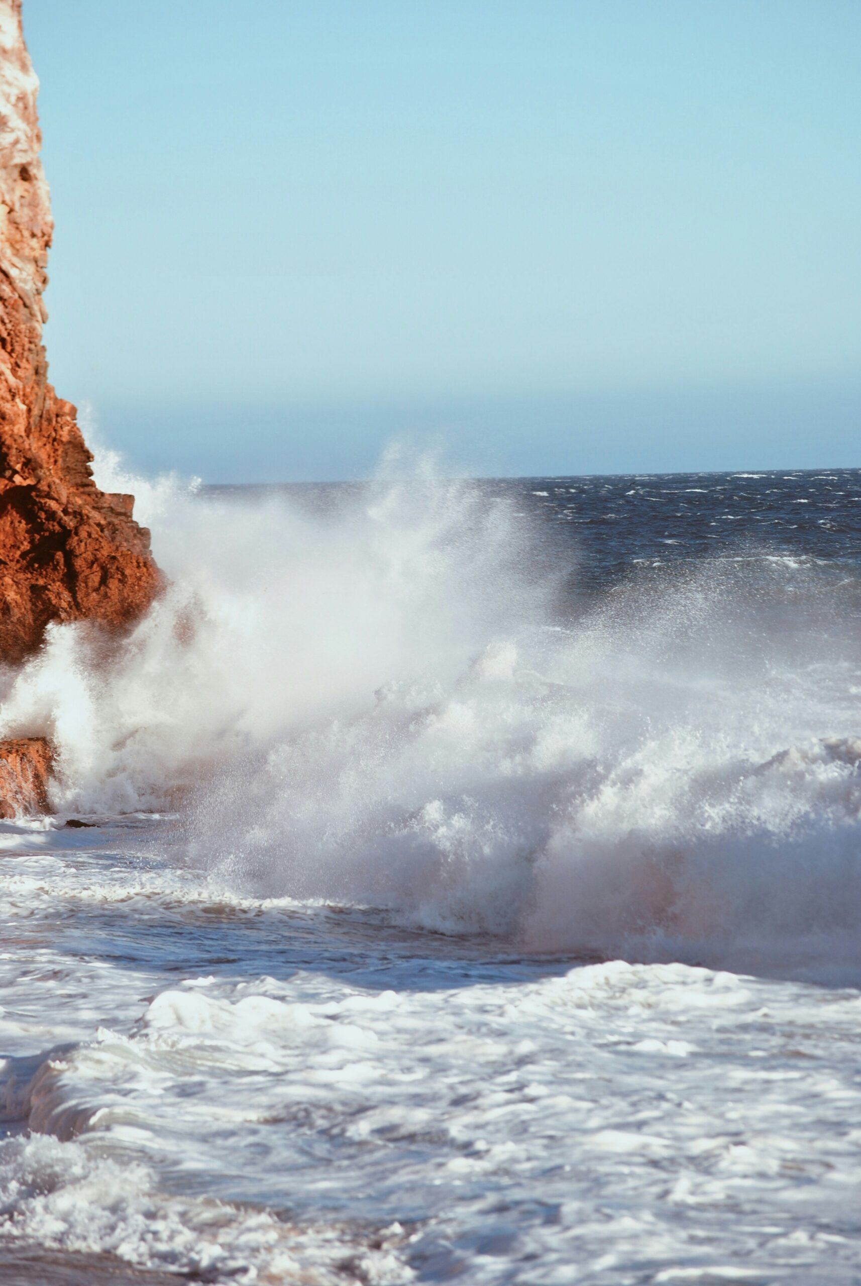
Beachgoers should expect the biggest changes at the shoreline, even without a direct storm hit. Hurricane Genevieve, an earlier storm this season, pushed swells into the 8- to 10-foot range at south-facing beaches from Ventura County through San Diego, creating hazardous surf far from its own path.
Karina's strength suggests similar swell potential is possible in the coming days. Typical hazards during these swell events include:
- Strong rip currents that can pull swimmers away from shore
- Sudden increases in wave height at south-facing beaches
- Dangerous shorebreak for waders and small children
- Rough conditions for paddleboarding, kayaking, and small boats
Why Offshore Storms Can Still Create Dangerous Conditions
A hurricane can stay hundreds of miles from California and still create real danger through the energy it sends across open water. Wave energy travels far faster than the storm itself, so swells often arrive days before any visible weather change onshore.
This is why lifeguards and forecasters treat swell advisories seriously even when a storm never approaches the coast. Rip currents caused by these swells are responsible for most storm-related water rescues and drownings along the California coast during active Pacific hurricane seasons, based on National Hurricane Center classifications of direct deaths tied to rough seas and rip currents.
How to Prepare for Changing Travel and Beach Conditions
Southern California residents and travelers can stay ahead of changing conditions by checking official forecasts daily and building flexibility into beach, camping, and road-trip plans this week. Karina and Lowell are not expected to require evacuation-level preparation in California, but swell and moisture impacts can still shift travel plans on short notice.
What Southern Californians Should Do Now
Checking the latest advisory each morning is the simplest way to stay current, since Pacific storm tracks can change within a day. The National Hurricane Center updates its tropical cyclone reports with six-hourly positions and intensities, along with post-analysis best track data once a storm concludes.
Residents near canyon roads or burn-scar areas should watch for county-issued flood or debris flow advisories separately from hurricane updates, since these come from local emergency offices rather than the National Hurricane Center.
How Travelers Can Adjust Coastal Road Trips and Outdoor Plans
Building a one-day buffer into coastal road trips gives travelers room to reroute if surf or weather advisories change. Highway 1 sections through Big Sur and coastal canyon roads are the most weather-sensitive routes in the state, since they combine ocean exposure with steep terrain.
Practical adjustments include:
- Checking surf and rip current advisories before any beach stop
- Avoiding tide pool or bluff areas during high surf warnings
- Rescheduling paddleboarding or kayaking trips if swell advisories are active
- Confirming campground or trail conditions directly with park offices during active storm watches
Planning resources such as California Backroads' road-trip planning guides can help travelers build flexible itineraries that account for these kinds of shifting coastal conditions.
Where to Find Reliable Alerts and Official Updates
The National Hurricane Center remains the primary source for confirmed storm positions, forecast tracks, and advisories for both Karina and Lowell. Its tropical cyclone report index lists every named storm this season with updated statistics, including maximum winds, minimum pressure, and accumulated cyclone energy.
Local National Weather Service offices issue California-specific rip current, high surf, and flood advisories that translate national forecasts into practical local guidance. Checking both sources together gives the fullest picture of a storm's broader path and its local coastal effects.
How to Read Storm Categories and Forecast Uncertainty
Storm categories describe wind strength, not certainty about a storm's future path. A tropical depression has winds of 33 knots or less, a tropical storm ranges from 34 to 63 knots, a hurricane runs 64 to 95 knots, and a major hurricane reaches 96 knots or higher, based on National Hurricane Center classification standards.
Forecast cones widen the farther out a prediction reaches, which is why five-day outlooks carry more uncertainty than 24-hour ones. Karina's classification as a major hurricane reflects its current wind speed, not a confirmed path toward California, and readers should treat any specific landfall claim beyond official NHC forecasts with caution.