Kelvin Wave in California: What Happened & What’s Next?
A Kelvin wave is moving up the California coast right now, and it's already nudging water levels higher along beaches from San Diego to the Bay Area. If you own property near the shore, walk your dog on the beach, or just want to know why the waterline looks different this fall, this matters to you.
Here's the direct answer: a slow-moving ocean swell tied to this year's strong El Niño is raising sea levels along the California coast by roughly 6 to 14 inches on its own, and when it overlaps with king tides, winter storms, and warm-water expansion, total water levels could climb close to two feet above normal in places this winter. That's not a tsunami, and it's not a single dramatic flood event. It's a slow, weeks-long elevation of the ocean surface that makes high tides, big surf, and storm surges more dangerous than they'd otherwise be.
I've spent time tracking NOAA's tide gauge data and talking through what the numbers mean with coastal scientists' public statements, and the pattern is consistent. This isn't really about one wave crashing onshore. It's about why the ocean's baseline height is higher than usual, for months, right as the state heads into its highest tides of the year.
Kelvin Wave in California: What Happened & What’s Next?
What Is a Kelvin Wave, and How Does El Niño Create It?
A Kelvin wave is a slow-moving bulge of warm water that travels along the equator and then up the coast, raising sea level by a measurable but modest amount as it passes. It forms because of a change in the trade winds that blow across the tropical Pacific Ocean, and it's one of the clearest early signs that El Niño is underway.
How Do Changes in Trade Winds Send Energy Across the Pacific?
Trade winds normally push warm surface water toward the western Pacific, stacking it up near Asia and keeping the eastern Pacific comparatively cool. During El Niño, those winds weaken and sometimes reverse in bursts, called westerly wind bursts. That shift releases the pent-up warm water, and it begins sliding east along the equator.
Why Does the Disturbance Travel North Along the Coast?
Once that bulge of water reaches the coast of South America, it has nowhere left to go, so it splits and travels along the shoreline instead. It becomes what oceanographers call a coastally trapped Kelvin wave, or coastally trapped wave, running north past Central America, Mexico, and Baja California before reaching the West Coast of the United States. The Coriolis effect, caused by Earth's rotation, pins the water against the coastline rather than letting it spread back out to sea. These waves move at roughly 125 to 155 miles a day, so a pulse that starts near South America takes a couple of months to reach California and about a week to travel the length of the state's coast.
How Is It Different From a Tsunami or a Breaking Wave?
A Kelvin wave is not a wall of water, and it does not break onshore the way a storm wave does. Michael Jacox, an oceanographer with NOAA's Southwest Fisheries Science Center, describes Kelvin waves as traveling underwater, stretching over very long distances, and changing sea level only slightly as they pass. On their own, they raise water levels by about 6 to 12 inches, not enough to threaten coastal communities by themselves.
What Is the Latest Forecast for California in 2026?
NOAA's Climate Prediction Center says a strong-to-very-strong El Niño is likely to continue through at least early 2027, with better than an 83% chance of that strength holding through the end of the year. That El Niño is the engine behind the current wave activity, and NOAA scientists are tracking the pulses as they move north in close to real time.
What Do Tide Gauges Show About the Wave's Arrival?
NOAA's tide gauge network gives the clearest, most current look at what's actually happening on the water. Stations at La Jolla, San Diego, Los Angeles, Santa Barbara, Monterey, and San Francisco all post water level readings updated every six minutes, which is the most reliable way to see a Kelvin wave's effect as it happens rather than relying on a forecast. As of early October, NOAA Fisheries oceanographer Michael Jacox noted one wave was already working its way up the coast, with one or two more still crossing the tropics behind it.
How Much Could Coastal Water Levels Rise, and for How Long?
The numbers depend on which layer of the problem you're measuring. The Kelvin wave itself typically adds 6 to 12 inches, though climate scientist Daniel Swain says this particular pulse could push California's contribution closer to 14 inches because of how strong this El Niño has become. Add in thermal expansion from unusually warm coastal water, and Swain estimates the combined temporary elevation could reach roughly two feet in some locations this winter. That's a separate number from the wave's own contribution, and it's worth keeping the two straight when you're reading water level reports.
When Could the Next Kelvin Wave Reach California?
More waves are already in the pipeline. NOAA's October monitoring noted additional Kelvin waves still moving through the tropical Pacific behind the current one, and the agency's Climate Prediction Center publishes an updated ENSO outlook monthly, with the next discussion due November 12, 2026. Earlier waves tied to this same El Niño reached California in January and again in May and June, so this winter's arrivals fit a pattern rather than a single isolated event.
Why Do King Tides and Storms Increase Flooding Risk?
Elevated water from a Kelvin wave becomes a real flooding concern only when it stacks on top of other high-water events. On its own, a foot of extra ocean height rarely causes damage. Combined with the year's highest tides or a strong winter storm, that same foot can push water over seawalls, into parking lots, and onto roads that normally stay dry.
How Do Elevated Water Levels Combine With High Tides?
California's king tides, the highest predicted tides of the year, are scheduled for November 24 to 26, December 23 to 25, and January 21 to 22. Those dates are based purely on the positions of the Earth, moon, and sun, and don't include any storm surge or El Niño effect. When elevated water from a Kelvin wave coincides with a king tide, actual water heights can exceed the posted tide predictions by a significant margin, the Commission warns.
What Happens When Winter Storms and Large Swells Coincide?
El Niño tends to steer more storms toward California and strengthen wave action along the coast. Oceanographer Mark Merrifield of Scripps Institution of Oceanography notes that Southern and Central California typically see stronger waves than usual during El Niño winters. Warm water in the eastern Pacific can also fuel Pacific hurricane activity that sends large swells toward the coast even when the storms themselves stay well offshore.
How Can Higher Water Accelerate Beach Erosion and Infrastructure Damage?
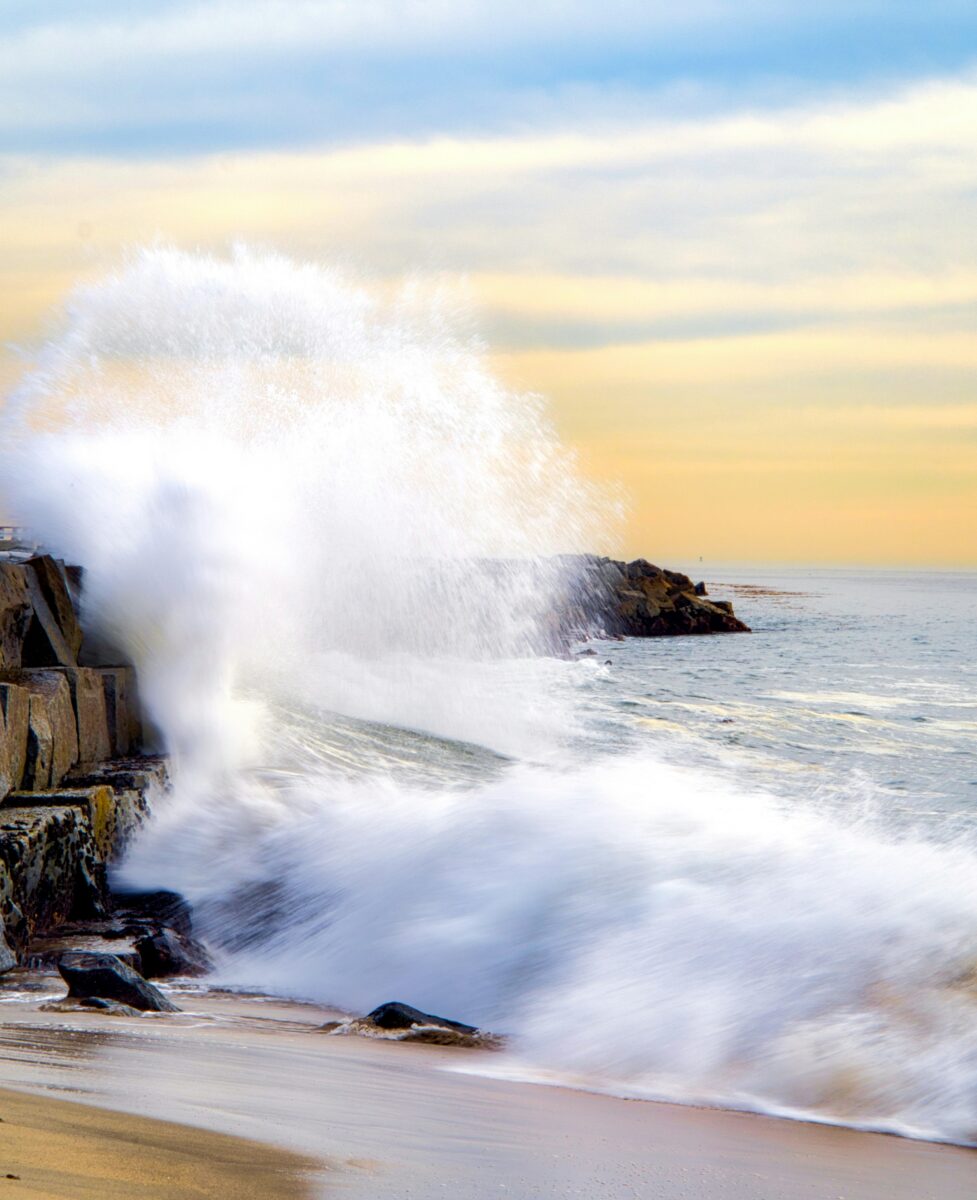
Higher baseline water levels let waves reach farther inland, chewing into dunes, bluffs, and beach infrastructure that normally sit above the surf line. The 2015/16 El Niño caused record coastal erosion, including an average of around 150 feet of erosion along Central California beaches. The 1982/83 El Niño destroyed 33 oceanfront homes and damaged roughly 3,000 more homes and 900 coastal businesses, the Commission's historical review notes.
Which Coastal Communities Could Be Affected?
Nearly every stretch of California's coastline carries some exposure this winter, but the risk looks different depending on geography and tide station data. Southern California's open beaches and harbors face the most direct wave energy, the Central Coast's bluffs and low-lying towns face erosion risk, and the Bay Area's flatter shoreline faces slow-building tidal flooding.
Southern California: San Diego, Los Angeles, and Long Beach
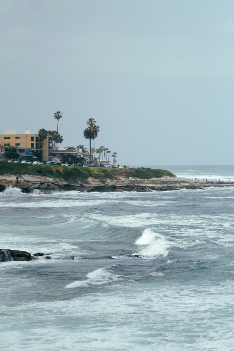
San Diego and La Jolla sit closest to where Kelvin waves first make landfall in California, and NOAA's tide gauge in La Jolla gives one of the earliest local readings of a wave's height. The National Weather Service office covering San Diego County has already issued a coastal hazard message this October warning of hazardous surf and rip currents along San Diego and Orange County beaches. Los Angeles and Long Beach, both with their own NOAA tide stations, face similar exposure where harbor infrastructure and low-lying waterfront streets sit close to the current high-water mark.
Central Coast: Santa Barbara and Monterey
Santa Barbara and Monterey both carry long bluff lines and beach communities that are sensitive to erosion rather than sudden flooding. Mark Merrifield's observation that Central California tends to see stronger wave action during El Niño applies directly here, since bigger waves arriving on top of elevated water levels eat into cliffs and beaches faster than either factor would alone.
San Francisco and the Bay Area: Shoreline Flooding and Tidal Exposure
San Francisco's shoreline and the Bay Area's flatter, low-lying edges are more prone to gradual tidal flooding than to wave-driven erosion. Climate change has already raised sea levels by about eight inches over the past century in San Francisco and La Jolla, according to a 2022 state-level report cited by Scientific American. That higher baseline means even a modest Kelvin wave contribution can push water into streets and low parking areas that didn't flood in past decades. Residents elsewhere along the coast watching for related storm activity can also check reports on winter storm warnings affecting California this season.
How Can Residents Prepare and Track Local Conditions?
Checking local water level data before heading to the beach or leaving a car in a low-lying lot is the simplest way to stay ahead of this winter's risk. State agencies have also moved early to stage resources and streamline permitting ahead of the season's worst weather.
Where Can You Find Water-Level Observations and Coastal Alerts?
NOAA's Tides and Currents site lists every California water-level station, from San Diego up through Crescent City, each updated every six minutes. The National Weather Service also maintains a statewide active alerts page covering coastal flood warnings, watches, and beach hazard statements as they're issued. Readers tracking broader weather patterns can also check NOAA's California weather forecast coverage alongside tide data for a fuller picture.
What Should Homeowners and Beachgoers Do Before High-Water Events?
The California Coastal Commission recommends inspecting your property for flooding or erosion vulnerability, clearing drains and gutters, and checking any seawalls or retaining walls for signs of wear before storms arrive, according to the Coastal Commission's El Niño preparedness guidance. Beachgoers should treat any posted beach hazard statement seriously, since rip currents and elevated surf can pull swimmers out quickly even on days that look calm from the sand. Property owners planning any shoreline protection work, including sandbags or temporary berms, should contact Coastal Commission staff first, since many of those measures require a permit.
What Preparedness Measures Have State and Local Officials Announced?
Governor Gavin Newsom proclaimed a state of emergency on September 21, 2026, to mobilize resources ahead of what forecasters call a potentially historic El Niño season. The proclamation directs state agencies to stage flood-fighting supplies, prepares the California National Guard for possible flood response, and fast-tracks permitting for local flood-risk-reduction work. More detail on the declaration and what it means for coastal counties is available in coverage of California's state of emergency over El Niño.
How Does Temporary Ocean Height Relate to Long-Term Sea-Level Rise?
This winter's elevated water levels offer a preview of conditions that could become routine later this century. The temporary bump from Kelvin waves and warm water this season lines up closely with the sea level rise scientists expect California to face as a matter of course in coming decades.
How Do Thermal Expansion and Marine Heatwaves Affect Water Levels?
Water expands as it warms, and that physical process, thermal expansion, is adding to this winter's totals separately from the Kelvin wave itself. Daniel Swain, a climate scientist at the University of California Agriculture and Natural Resources, says the combination of Kelvin waves and thermal expansion from this El Niño's record warm water could push temporary ocean elevation to roughly two feet in places, calling that number “very alarming,”. A marine heatwave along the West Coast was already raising sea levels and water temperatures for months before this El Niño's Kelvin waves arrived, NOAA Fisheries scientists note.
Why Can a Temporary Event Reveal Future Coastal Vulnerabilities?
Swain frames this winter as a stress test for coastal infrastructure built for an earlier climate. He expects at least another two feet of sea level rise in California later this century, a figure close to what the state could see temporarily this winter, and argues that infrastructure unable to handle this season's water won't handle that becoming the average condition. The California Coastal Commission's sea level rise policy guidance, last updated in November 2024, already directs local governments to plan around these longer-term projections rather than historical tide patterns alone.