Sandy Fire in Simi Valley: Evacuation Shelters, Animal Assistance & Relief Resources
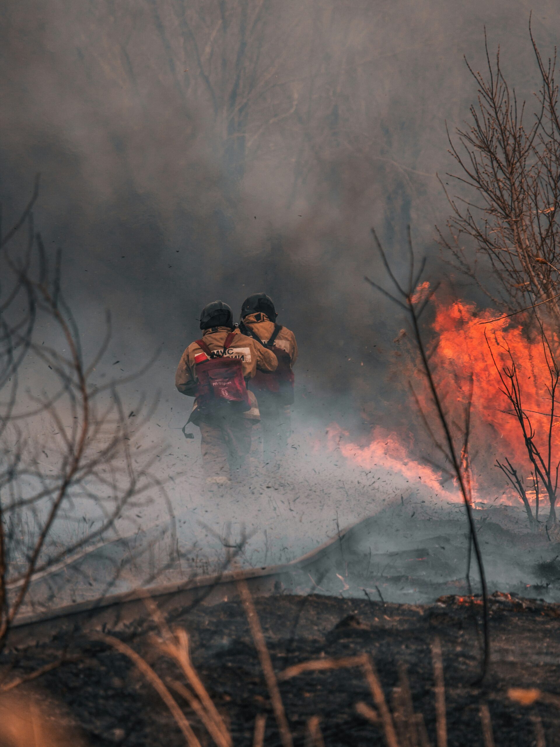
A fast-moving wildfire known as the Sandy Fire, which began shortly after 10AM on May, 18th, 2026, is burning in and around Simi Valley, prompting evacuation orders and warnings across several Ventura County and Los Angeles County zones. The latest FIRIS update shows the fire perimeter is at an estimated 2,114 acres, with 30% containment. The fire continues moving east, threatening the communities of Simi Valley, Bell Canyon and Box Canyon. Evacuation Orders and Warnings have been issued for many areas.
Updated 05/21/2026 – 3:12PM
Sandy Fire in Simi Valley: Evacuation Shelters, Animal Assistance & Relief Resources
While fire activity diminished overnight on Monday, fire behavior has increased again today and residents in impacted areas should remain aware of the potential for rapidly changing conditions. If you feel unsafe or are concerned about conditions in your area, do not wait to evacuate.
As of Tuesday, May 19, 2026 at 5:27 pm, the fire has NOT impacted the Santa Susana Field Laboratory (aka Rocketdyne) located on Woolsey Canyon Road. Fire crews continue to prioritize protection of the area.
Santa Susana Field Labratory
- Due to the Sandy Fire’s proximity to the Santa Susana Field Laboratory (Rocketdyne) area, air quality monitoring is being conducted around the fire perimeter. Monitoring equipment has been proactively deployed to establish background air quality readings and to help assess conditions should the fire advance further into the area. At this time, the fire has not crossed into the Field Laboratory property.
- Air monitoring information helps incident personnel and public health officials evaluate smoke and air conditions and provide timely updates to the community. Residents can monitor current smoke and air quality conditions using the (opens in a new tab)AirNow Fire and Smoke Map.
Where To Find Information
Ventura County
- Airnow.gov – Interactive air quality map, or signed up for air quality alerts related to wildfire smoke
- @nws – Download NWS app for real-time weather alerts
- @watchdutyapp – Real-time updates with maps
Los Angeles
- For Sandy Fire updates: emergency.venturacounty.gov
- LAFD alerts and information: lafd.org/alerts
- Sign up for emergency notifications: notifyla.org
Current Evacuation Information
Mandatory evacuation orders are currently in effect for:
- Burro Flats 01A
- Meier Canyon 01
- Simi Valley 32A
- Simi Valley 34
- Simi Valley 35
Evacuation warnings have been issued for:
- Bell Canyon 01
- Bell Canyon 02
- Bell Canyon 03
- Bell Canyon 04
- Bell Canyon 05
- Burro Flats 01B
- Cheseboro 01A
- Santa Susana 01
- Santa Susana 02
- Simi Valley 27
- Simi Valley 28
- Simi Valley 32C
- Simi Valley 33A
Lifted Evacuations:
- Box Canyon 02
- Box Canyon 03
- Cheseboro 01B
- Simi Valley 33B
- Simi Valley 33C
For Los Angeles residents, an Evacuation Warning is in effect for portions of West Hills and Chatsworth. You are not required to leave, but you should be ready to go if conditions change.
Residents are urged to follow all official evacuation notices and monitor local emergency alerts closely.
Road Closures
- Bell Canyon Road is closed in both directions from Overland Drive
- Katherine Road at railroad tracks
- Clear Springs Road from Santa Susana Pass Road to Katherine Road
- Oak Knolls Road at Southern Oaks Avenue
- Crinklaw Lane
- Santa Susana Pass Road at railroad tracks
- Santa Susana Pass Road at Box Canyon Road
School Closures
ALL Simi Valley Unified School District schools and campuses remain CLOSED this week and through the Memorial Day holiday on Monday May 25, 2026. This includes all after school programs and activities. The school district anticipates students will return on Tuesday, May 26, 2026.
Human Evacuation Shelters
Rancho Santa Susana Community Park
5005 Los Angeles Avenue
Simi Valley, CA 93063
Emergency evacuation assistance and shelter services are currently available for residents displaced by the Sandy Fire. Officials have designated this location as the primary evacuation point for impacted families.
Animal Evacuation Shelters
Small Animal Shelters are open at:
Simi Valley Animal Shelter
670 W Los Angeles Avenue
Simi Valley, CA 93065
Camarillo Animal Shelter (Small domestic animals and livestock for safekeeping)
600 Aviation Drive
Camarillo, CA 93010
A Large Animal Shelter for horses and livestock is open at:
Ventura County Fairgrounds
10 E Harbor Blvd.
Ventura, CA 93001
Los Angeles Pierce College – Use DeSoto entrance
6201 Winnetka Avenue
Woodland Hills, CA 91367
Officials recommend evacuating animals early whenever possible.
Additional Animal Assistance Resources
- Ventura County Animal Services Disaster Preparedness
- Humane Society of Ventura County Emergency & Rescue Services
The Humane Society of Ventura County is also offering evacuation transport and emergency animal sheltering support for wildfire evacuees. Assistance requests can be made by calling 805-646-6505.
Assistance and Relief Centers
Residents impacted by the Sandy Fire may find additional support through the following organizations and relief resources:
- Simi Valley Chamber Wildfire Relief Resources
- Best Friends Animal Society Wildfire Assistance
- Animal Legal Defense Fund Fire Resources
Available assistance may include:
- Emergency housing referrals
- Pet boarding assistance
- Animal reunification resources
- Food and supply distribution
- Evacuation transportation assistance
- Disaster relief information
Air Quality Watch
The Ventura County Air Quality Control District issued an Air Quality Watch beginning Wednesday, May 20, 2026, because of the potential for unhealthy air quality conditions due to the Sandy and Santa Rosa Island fires. Impacted cities may include Thousand Oaks, Newbury Park, Simi Valley, Moorpark, Camarillo, Oxnard and Ventura. To check the current air quality, click HERE.
Health Effects After Fire
The Ventura County Public Health Department cautions that unhealthy air quality related to the fire affecting our county may become a concern. As evacuations are lifted and residents return home to areas impacted by fire, it is important to safeguard your health.
Ash Safety
Ash exposure can cause health problems, especially for those who have pre-existing conditions. The key risks of ash exposure include:
- Eye, skin, nose, throat irritation and increased asthma symptoms
- People with asthma or lung disease, pregnant individuals, older adults, and young children should avoid ash exposure as much as possible.
- Children should not participate in cleanup or play near ash-covered areas
For more information on how to protect yourself and loved ones from post-fire ash, download Building Fire Ash or Your Home or Business after Fire
Food Safety
After a fire, food exposed to heat, smoke or fumes may become unsafe due to contamination. Additionally, power outages of any length can cause food to spoil. For more information on food exposed to fire or heat, download Food Safety.
Stay Updated
For official fire updates, evacuation maps, and emergency alerts, monitor:
This story is developing and shelter locations or evacuation zones may change rapidly throughout the day.


