Mojave Desert Road Trip: Ghost Towns & Hidden Gems
I've driven the pavement loop through the Mojave National Preserve more times than I can count, and I still remember the first time I misjudged it: I treated the Mojave Road as just another side trip. It isn't. The preserve's paved and lightly graded roads make for a comfortable, scenic drive almost any car can handle, while the historic Mojave Road is a separate, multi-day overland crossing that demands four-wheel drive, real preparation, and a different mindset.
That distinction matters more than anything else when you're planning a Mojave Desert road trip. Get it right, and you'll spend your time climbing dunes, wandering old depot buildings, and camping under skies with almost no light pollution. Get it wrong, and you might find your sedan stuck in sand on a road rated 4WD only.
This desert rewards people who plan around their vehicle and their calendar. The California desert here is huge, nearly empty of services, and shaped by old railroads, mining booms, and a wagon road that predates the state itself. I'll walk through how to build a trip that fits what you're driving and how many days you have, where the ghost towns and hidden corners are, and what the Mojave Road actually asks of a traveler who wants to attempt it.
Mojave Desert Road Trip: Ghost Towns & Hidden Gems
Which Route Should You Choose: Scenic Roads or a 4WD Crossing?
Most visitors should plan a paved loop through Mojave National Preserve in a regular car or SUV, and treat the historic Mojave Road as a separate trip only if they have a real 4WD vehicle and two to three extra days. These are two different experiences built around different roads, and mixing them up is the most common planning mistake.
A Mostly Paved Loop Through Mojave National Preserve
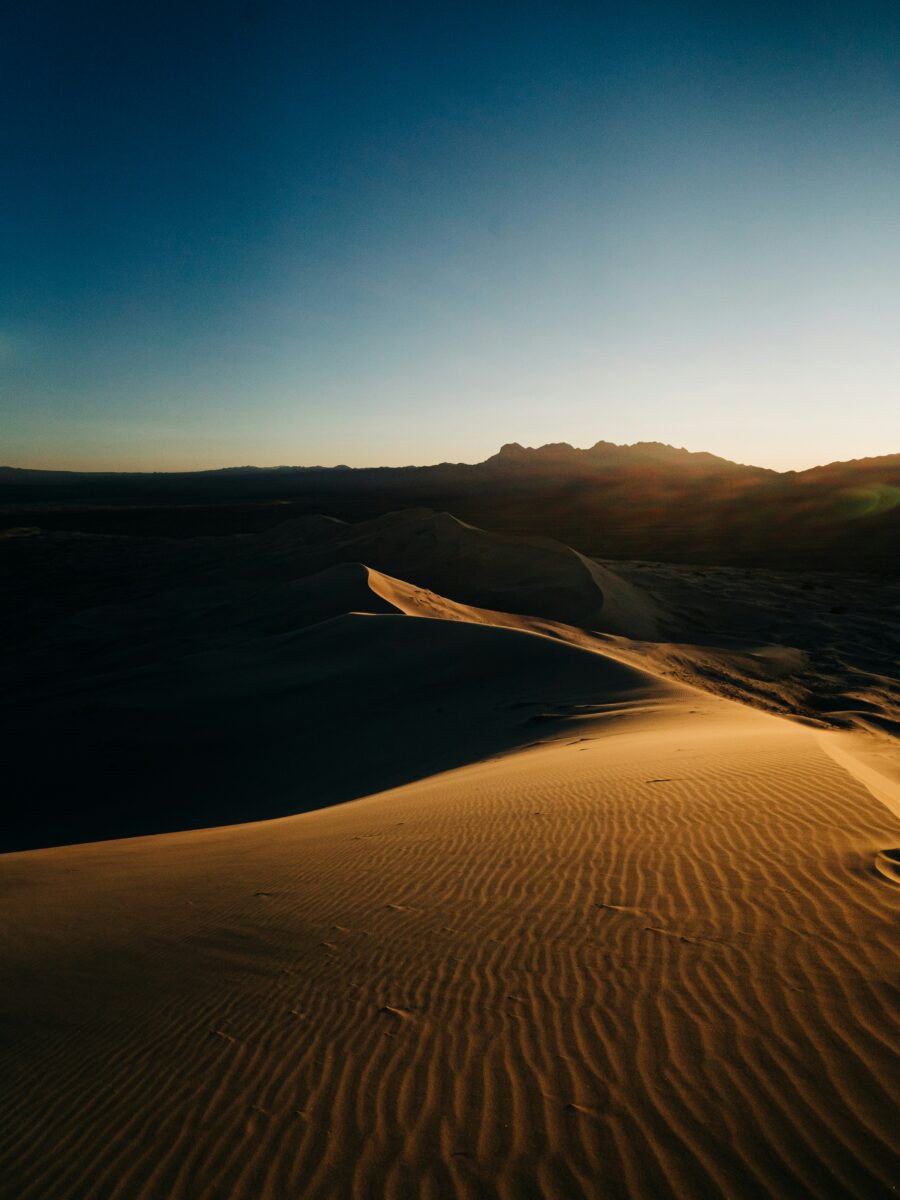
The preserve's primary roads, including Kelbaker, Kelso Cima, Cima, and Ivanpah, are paved and open to ordinary vehicles, though the National Park Service warns of rough pavement, potholes, and narrow shoulders on routes that haven't seen major repair work in decades, a condition confirmed in the park's current road alerts. You can see Kelso Dunes, the lava tube area (via a short unpaved spur), and Cima Dome's Joshua tree forest without needing four-wheel drive for the main route.
The Mojave Road: A Separate Two- to Three-Day Overland Route
The Mojave Road is a roughly 150-mile east-west route between the Colorado River and the Mojave River, and the Park Service recommends about three days to drive it in full, a scope laid out on the Mojave Road 4-wheel drive route page. It is not a loop and not a detour off the paved roads. Expect sand, rock, and sections that are impassable after storms.
Starting From Las Vegas, Los Angeles, or the Colorado River
Las Vegas sits about 90 miles from Kelso Depot, making it a convenient starting point for the paved loop, while the eastern end of the Mojave Road begins near the Colorado River and the western end meets the Mojave River corridor. Travelers coming from Los Angeles typically approach via I-40 or I-15, and those planning a full Mojave Road crossing need to arrange transportation back to their starting point since it's a one-way overland route.
When Is the Best Time to Visit?
Spring and fall give you the most comfortable temperatures for hiking and camping in the Mojave Desert, while summer heat and winter cold each bring their own hazards. Timing your trip around the season changes almost everything about what you can comfortably do here.
Spring and Fall Offer the Most Comfortable Conditions
The weather is most comfortable in spring and fall, according to the Mojave National Preserve weather page, with wildflowers sometimes carpeting the desert floor in spring if rainfall has been good. These seasons also draw the biggest crowds to trailheads and campgrounds, so weekend reservations fill fast.
Winter Brings Cold Nights and Possible Mountain Snow
Winter in the preserve means freezing temperatures and strong winds, with rain and snow possible in higher elevations like the New York Mountains and along Cedar Canyon. Daytime highs can reach a comfortable 65 degrees, but nights regularly drop below freezing, especially above 5,000 feet.
Why Summer Heat and Monsoon Storms Change the Plan
Summer temperatures above 100 degrees Fahrenheit are typical across the preserve, and the Kelso Dunes hike specifically is not recommended once temperatures climb toward 120°. Summer also brings monsoon thunderstorms that can wash out roads with little warning, turning a routine drive into a stranded one.
How Can You Spend Three Days Exploring the Desert?
A three-day Mojave Desert road trip works best as a loop through Route 66 towns, Mojave National Preserve's main attractions, and the high desert scenery along Cima Road, all on roads suitable for a standard vehicle. This itinerary skips the Mojave Road crossing entirely, saving it as an optional add-on for travelers with the right rig and extra time.
Day 1: Route 66 Ghost Towns and a Gateway Overnight
Start along historic Route 66, stopping in Amboy to see Roy's Motel & Café, a Googie-style landmark that's been welcoming travelers since 1938 and still stands as what its owners call a living ghost town. Ludlow, a few miles further, began in 1883 as a railroad water stop and still offers gas, food, and a small motel today, a history detailed by San Bernardino County. Overnight in Barstow or Baker to position yourself for the preserve the next morning. If you want more ghost town context before you go, it helps to look at other ghost towns in California along the way.
Day 2: Kelso Dunes, Kelso Depot, and the Lava Tube
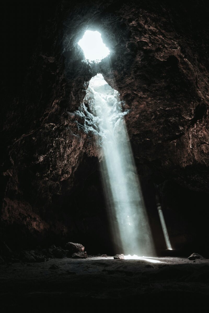
Enter the preserve via Kelbaker Road and head to Kelso Dunes, the most popular hike in Mojave National Preserve, a three-mile round trip with 600 feet of elevation gain that takes most hikers two to three hours, per the Park Service's dunes guide. Stop at Kelso Depot, a 1924 train station turned visitor center (note that its indoor exhibits are currently closed for rehabilitation, though outdoor areas and restrooms remain open). If your vehicle has decent clearance, the short detour on unpaved Aiken Mine Road leads to the lava tube, where a metal ladder drops you into a skylight chamber in the Cima Dome volcanic field.
Day 3: Cima Road, Mountain Scenery, and Optional Detours
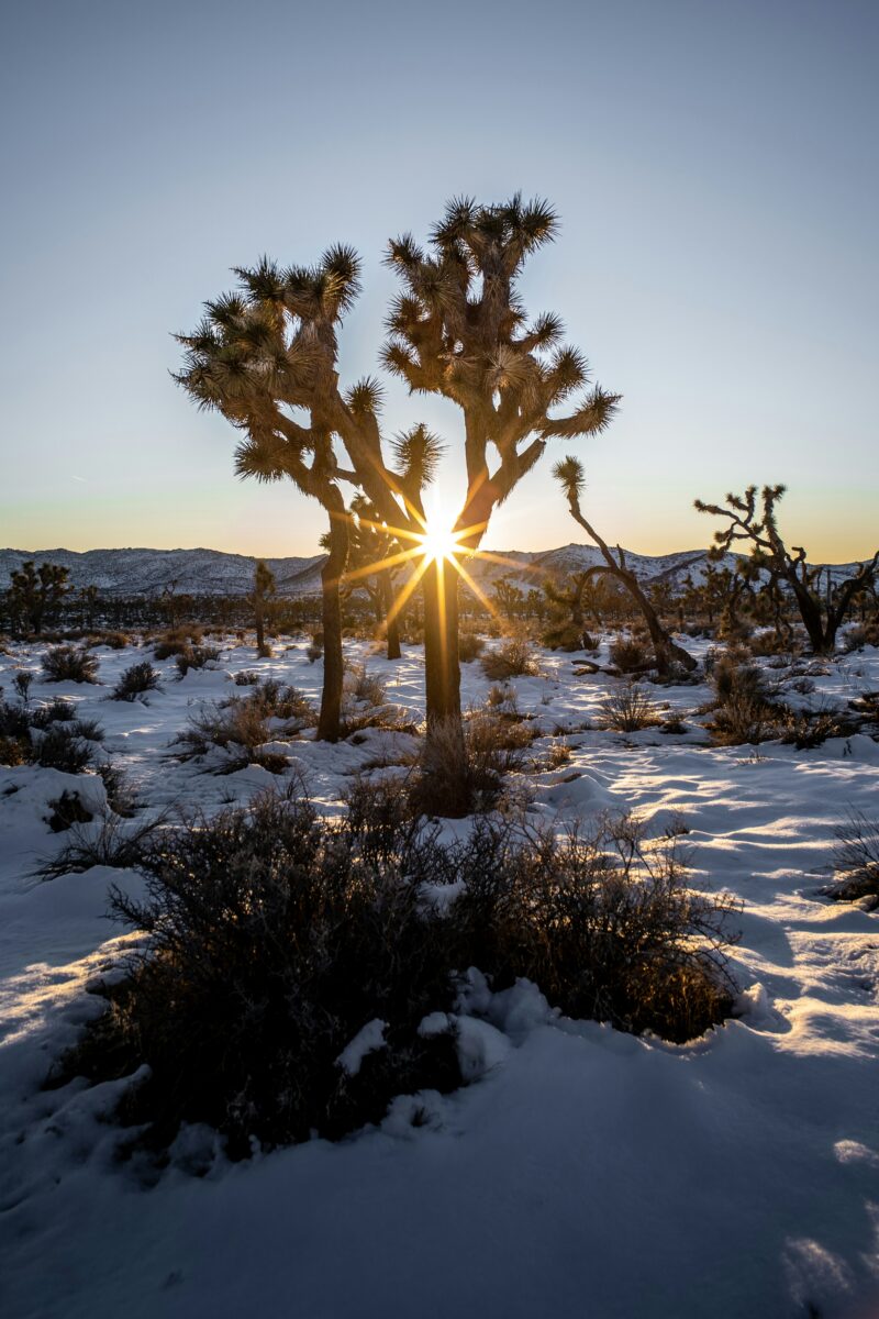
Drive Cima Road through the Joshua tree woodland on Cima Dome, then continue toward the New York Mountains for views of some of the highest terrain in the preserve. This day works well paired with a visit to Mojave National Preserve more broadly if you want to slow down and add a short hike.
Adding Time for Joshua Tree or a Full Mojave Road Crossing
With a fourth or fifth day, you can continue south to Joshua Tree National Park, or shift your entire plan to attempt the full Mojave Road if your vehicle and gear meet the requirements covered below.
What Road Conditions and Vehicle Preparation Should You Expect?
Check official road condition pages before leaving pavement, since the Mojave Desert's unpaved roads change quickly after storms and can strand vehicles that lack real clearance and four-wheel drive. This single habit prevents most of the trouble travelers run into out here.
Checking Official Alerts Before Choosing Unpaved Roads
The Park Service updates its road conditions page regularly, and it specifically warns that third-party GPS and mapping apps may not reflect current road status or may route drivers onto roads inappropriate for their vehicle, a caution spelled out on the alerts and conditions page. Always check this page the morning you plan to leave pavement, not the week before.
Where High Clearance and Four-Wheel Drive Matter
Many backcountry roads require at least 8 inches of clearance, a low-range transfer case, and heavy-duty tires, and the Mojave Road itself is listed as 4WD only, unsuitable for all-wheel-drive SUVs, according to the same conditions page. Kelso Dunes Road is open to 2WD vehicles only as far as the main trailhead and camping area; beyond that, high clearance and 4WD take over.
Soda Lake Mud and the Afton Canyon River Crossing
Soda Lake looks dry but never truly is, since it's fed by the underground Mojave River, and the Park Service explains that leaving the established road here can mean getting stuck in deep, sticky mud with towing costs that can exceed $1,000. Afton Canyon adds its own river crossing where the Mojave River flows above ground, one of only three places in the desert where that happens. Reported water depths and old trip reports are not a guarantee of what you'll find; conditions shift after every storm, so treat any depth you've read about as outdated until you see the crossing yourself.
Planning Fuel, Water, Offline Navigation, and Recovery Supplies
There is no gas sold inside Mojave National Preserve, so fill up in Barstow, Baker, Primm, Needles, or Las Vegas before entering, a point the Park Service stresses on its conditions page. Carry at least one gallon of water per person per day, a paper map as backup since cell service is sporadic at best, and basic recovery gear: a tire jack, tow rope, and extra fluids.
Which Scenic Stops and Hidden Gems Are Worth the Detour?
The preserve holds several standout stops reachable without committing to the full Mojave Road, each worth building a half day or more around. I'll cover the dunes and depot, the lava tube's volcanic surroundings, the strange history at Zzyzx, a botanically rich canyon in the New York Mountains, and a handful of landmarks that only make sense as part of a dedicated 4WD trip.
Kelso Dunes and the Historic Kelso Depot
Kelso Dunes are one of only seven dune fields in North America known to produce a booming sound when sand slides down a steep face. The dunes formed from sediment carried by the Mojave River into ancient Lake Manix millions of years ago, later exposed and blown here by wind. Kelso Depot nearby, built in 1924 and reopened as a visitor center in 2005, still has outdoor restrooms and a parking lot even while its indoor exhibits are closed for rehabilitation.
The Mojave Lava Tube and Surrounding Volcanic Landscape
The lava tube sits about 5 miles east of Kelbaker Road on unpaved Aiken Mine Road, and a high-clearance vehicle is recommended for the narrow, sandy, washboard surface. From the parking area, it's a short walk uphill to a metal ladder that descends into the tube itself. Bring a flashlight; the tube has a low ceiling in places and isn't regularly maintained.
Zzyzx, Soda Springs, and the Edge of Soda Lake
Zzyzx has a genuinely odd history: Curtis Springer built a mineral springs health resort here in the 1940s before being removed by federal authorities, and the site is now a California State University research station, a story the Park Service tells in full. Public visitors can walk the quarter-mile Lake Tuendae Nature Trail, but the rest of the Desert Studies Center grounds are closed and off-limits without a reservation. Soda Springs itself was used by the Mohave and Chemehuevi people for generations before later travelers and the US Army relied on it, so treat it as a historic and sensitive site rather than a place to fill water bottles.
Caruthers Canyon and the New York Mountains
Caruthers Canyon, tucked in the New York Mountains, holds a botanical mix of conifers, oaks, and chaparral plants not found elsewhere in the preserve, a diversity noted on the Park Service's backcountry routes page. High clearance and four-wheel drive are recommended to reach it, about 5.5 miles west of Ivanpah Road on New York Mountains Road. It's a good stop if you're already equipped for backcountry roads and want scenery beyond the open desert floor.
Mojave Road Landmarks Accessible on a Separate 4WD Trip
Landmarks like the Mojave Road Mailbox, the Travelers Monument, and Rock Spring only make sense to visit as part of a dedicated Mojave Road crossing, not as day-trip detours from the paved loop. Rock Spring, reachable via a short loop trail near a historic rock house, shows how water sources every 20 to 30 miles shaped this entire travel corridor.
Which Ghost Towns and Historic Ruins Can You Visit?
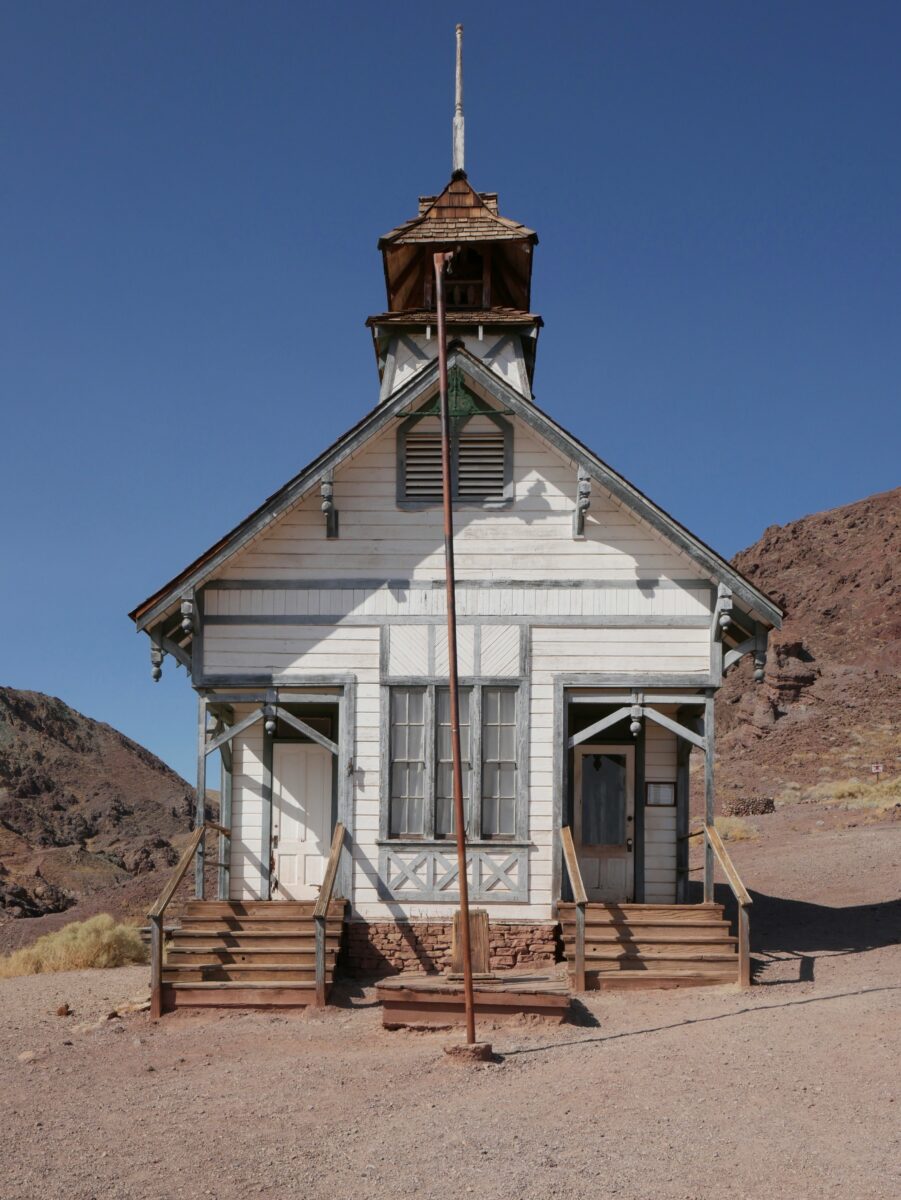
Amboy and Ludlow along Route 66 are the easiest ghost towns to reach on pavement, while Fort Piute and the Death Valley Mine area require unpaved roads or a Mojave Road crossing. Each site tells a different piece of the desert's mining, railroad, and military history.
Amboy and Ludlow Along California Route 66
Amboy, home to Roy's Motel & Café, has stood since the late 1800s and now serves mostly as a photogenic stop for travelers, a role confirmed by the town's own site. Ludlow, a former railroad water stop founded in 1883, still has a café, motel, and gas stations serving Route 66 travelers today, according to the California Historic Route 66 Association. Both sit directly on pavement, making them easy additions to any itinerary. For a broader sense of what else survives along old highways in the state, it's worth browsing must-visit ghost towns in California.
Calico as an Optional Western Detour
Calico Ghost Town, restored by Walter Knott in the 1950s and designated California's Silver Rush Ghost Town in 2005, sits near Barstow and makes a reasonable detour if you're approaching the desert from the west. It's a managed, ticketed attraction rather than an untouched ruin, with shops, camping, and scheduled events. Mines in the area are hazardous and should not be entered.
Death Valley Mine and the Cima Area
The Death Valley Mine sits along an unpaved extension of Cima Road east of Kelso Cima Road, an area that has seen periodic closures tied to railroad maintenance work. Check current conditions before planning a visit, since this spur isn't always open.
Fort Piute on the Eastern Mojave Road
Fort Piute, near Piute Spring and Piute Creek on the eastern end of the Mojave Road, requires a very rocky road rated 4WD only, with sharp rocks likely to puncture tires. This is not a casual stop; it belongs to the dedicated Mojave Road itinerary, not the paved loop.
Visiting Fragile Ruins Without Entering Mine Workings
Old mine sites throughout the region are extremely hazardous, and Calico's own park managers warn visitors not to approach them for any reason. The same caution applies to mining ruins scattered across the preserve: look, photograph, and stay out.
Where Can You Sleep, Refuel, and Restock?
Barstow and Baker are the main gateway towns for fuel, food, and lodging before entering Mojave National Preserve, since no gas, food, or lodging exists inside preserve boundaries. Plan your fuel stops around these towns regardless of which route you're driving.
Gateway Towns for Fuel, Food, and Lodging
Gas is not sold inside the preserve, and visitors should fill up in Barstow, Baker, Cima, Primm, Jean, Henderson, or Las Vegas depending on direction of travel. Visitors approaching from the south can fuel up near Twentynine Palms, Amboy, Fenner, or Ludlow. There are no restaurants or grocery stores inside the preserve either, so bring everything you'll need for the day.
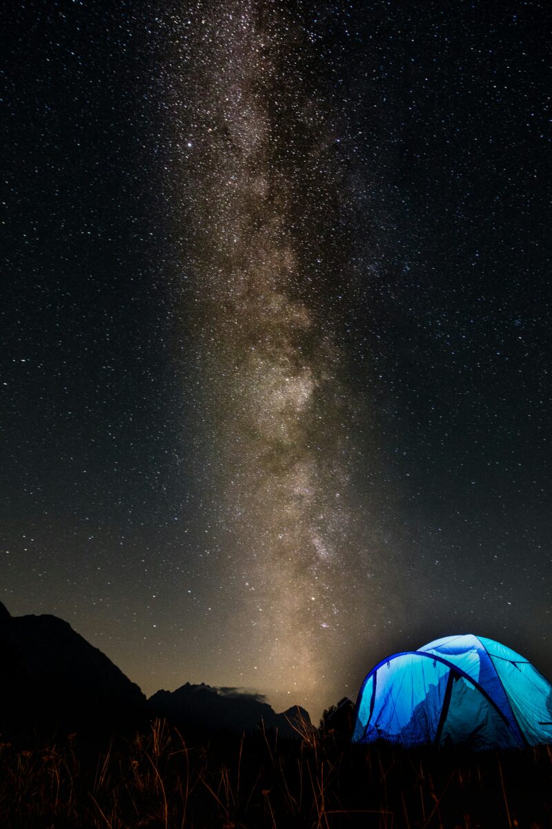
Developed Camping at Mid Hills and Nearby Alternatives
Mid Hills Campground sits at 5,600 feet, considerably cooler than the desert floor, with 26 sites, though water is not available and the access road isn't recommended for large motorhomes or trailers. Hole-in-the-Wall and Black Canyon campgrounds offer more services, including potable water and dump stations, and better access for RVs. Afton Canyon Campground, run by the BLM, offers 22 developed sites with shade structures for $6 per night, a useful midway stop between Las Vegas and Los Angeles noted on the BLM's Mojave Trails page.
Dispersed Camping Along Open Backcountry Roads
Undeveloped camping is allowed only at previously used sites along roads like Kelbaker, Cima, and Ivanpah, and most require high clearance or four-wheel drive to reach safely, per the Park Service's undeveloped campsites page. There's a 14-day limit and no fee. If dispersed camping fits your plans elsewhere in the region, it helps to review the basics of camping in the Mojave Desert before heading out.
Budgeting for Fuel, Campsites, Lodging, and Detours
Developed campground fees run as low as $6 per night at Afton Canyon, while gateway town motels and meals add the bulk of a trip's cost. Factor in extra fuel for the preserve's long inclines, which drain tanks faster than flat highway driving.
What Permits and Desert Travel Rules Apply?
Every vehicle driven in Mojave National Preserve must be street-legal under California DMV requirements, and groups larger than seven vehicles or 25 people need a Special Use Permit. These rules apply whether you're on the paved loop or the Mojave Road itself.
Street-Legal Vehicles and California DMV Requirements
All vehicles need current registration, tags, working lights and turn signals, and valid insurance, and California's Green Sticker and Red Sticker OHV programs aren't recognized inside the preserve. ATVs, UTVs, and side-by-sides aren't permitted anywhere in the preserve, even though they're welcome on adjacent BLM land.
When Larger Groups Need a Special Use Permit
Groups of more than 7 vehicles or 25 or more people need a Special Use Permit, with processing taking up to a month, according to the same source. This applies to camping groups as well as driving groups, so plan ahead if you're organizing a larger trip.
Staying on Open Roads and Respecting Wilderness Boundaries
Off-pavement travel is only allowed on existing, open dirt roads, and creating new routes or driving in washes is strictly prohibited and actively enforced, the Park Service states. Much of the land on either side of roads like the Mojave Road is protected wilderness where no motorized travel is allowed at all.
Protecting Springs, Wildlife, Artifacts, and Campsites
Desert tortoises, a threatened species, often rest in the shade under parked cars and cross roads during rainy weather, so the Park Service asks drivers to check underneath vehicles before pulling away. Historic sites like stacked rock cairns hold cultural significance and shouldn't be disturbed. Campers should use only existing fire rings, pack out all waste including toilet paper, and avoid expanding sites to fit extra vehicles.
What History Will You Encounter Along the Way?
Indigenous trade networks came first here, long before any wagon road or railroad touched the Mojave. I'll trace that history forward through the military era, the water stops that made travel possible, and the modern research that keeps this route alive today.
Indigenous Trade Networks and Connections to the Spanish Trail
Indigenous people used this corridor to transport goods from the southwest to trade with the Chumash and other coastal tribes long before European contact. The Mojave Road is considered a branch of the Old Spanish National Historic Trail and is listed on the National Register of Historic Places, though it's distinct from the separate Spanish Trail routes that cross the same general region further north. The first documented European exploration of these trails came from the Francisco Garcés expedition in 1776.
Beale's Crossing and the Military Road Era
Lieutenant Edward Fitzgerald Beale built the Mojave wagon road between 1857 and 1860, following the Indian trail system surveyed earlier by Lt. Amiel Weeks Whipple, according to the same NPS history. Beale's Crossing at the Colorado River became the site of Camp Colorado, later renamed Fort Mohave, after Lieutenant Colonel William Hoffman arrived with 700 troops in 1859 to secure the crossing following conflicts between travelers and the Mojave people.
Historic Water Stops From Lanfair Valley to Marl Springs
Water sources spaced every 20 to 30 miles across the desert formed a natural travel corridor that became the Mojave Road. Government Holes and Marl Springs served the same purpose further along the route, supporting travelers, livestock, and the military outposts built to protect them. Lanfair Valley, further north, became an early ranching and homesteading center once the Nevada Southern Railway served it between 1893 and 1923.
Seventeen Mile Point, Manix Wash, and the Western Corridor
The western stretches of the route cross Manix Wash and the drainage shaped by the ancient Mojave River, the same river system that once fed Lake Manix and, after it drained, formed Soda Lake and Silver Lake near Zzyzx. This western corridor connects to the Mojave River rather than terminating in any single Los Angeles neighborhood, a detail worth getting right since the route's endpoint is often oversimplified.
Dennis Casebier and the Mojave Road Guide
Historian Dennis Casebier rediscovered and popularized the Mojave Road in the 1980s, and his Mojave Road Guide remains the standard mile-by-mile reference for anyone planning the crossing, now in its fourth edition with GPS coordinates added for the first time. The National Park Service itself points travelers to this guide as the best resource for trip planning.


