Sierra Nevada Winter Storm Warning Today: Snow Totals, Road Closures & Travel Alerts
The National Weather Service put out a winter storm warning for the Sierra Nevada, and honestly, it’s already making a mess of travel routes and mountain communities. Heavy snow—up to a few feet in some higher spots—looks likely through the next several days, with big accumulations piling up along Interstate 80, Highway 50, and the usual mountain corridors. Chain controls are already in effect on key highways, and if you’re thinking about driving up there, it’s probably not the best idea right now.
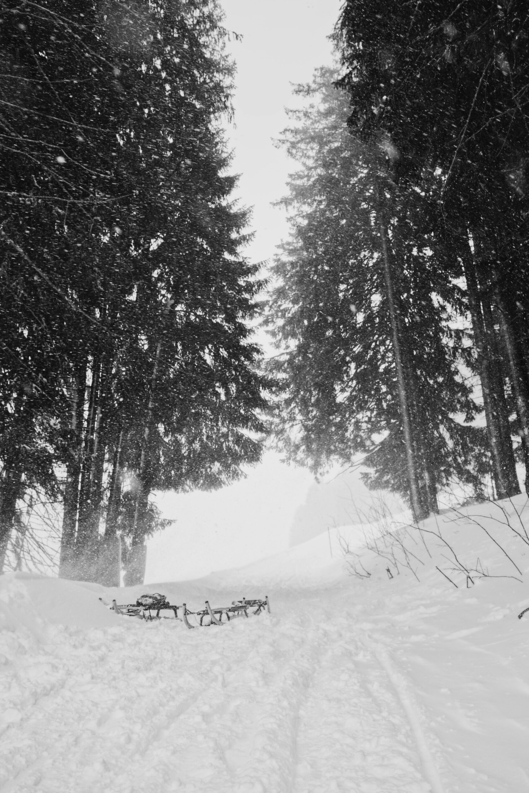
This warning covers a huge stretch from Lassen County down to Mono County, and the heaviest snow is coming above 8,000 feet. Some spots could see 3 feet up high, but even lower areas along the main highways are getting a decent layer. Winds are cranking up too, making it tough to see and even more dangerous to travel.
Lake Tahoe and nearby regions are already getting hit by this first wave, and chain controls are on for Interstate 80 and Highways 50 and 88. It’s a weird time for a storm like this—mid-April, when most people have their minds on spring. If you’re headed to or near the Sierra Nevada today, knowing what’s happening on the roads and how to stay safe is more important than ever.
Sierra Nevada Winter Storm Warning Today: Snow Totals, Road Closures & Travel Alerts
Current Winter Storm Warning and Weather Alerts
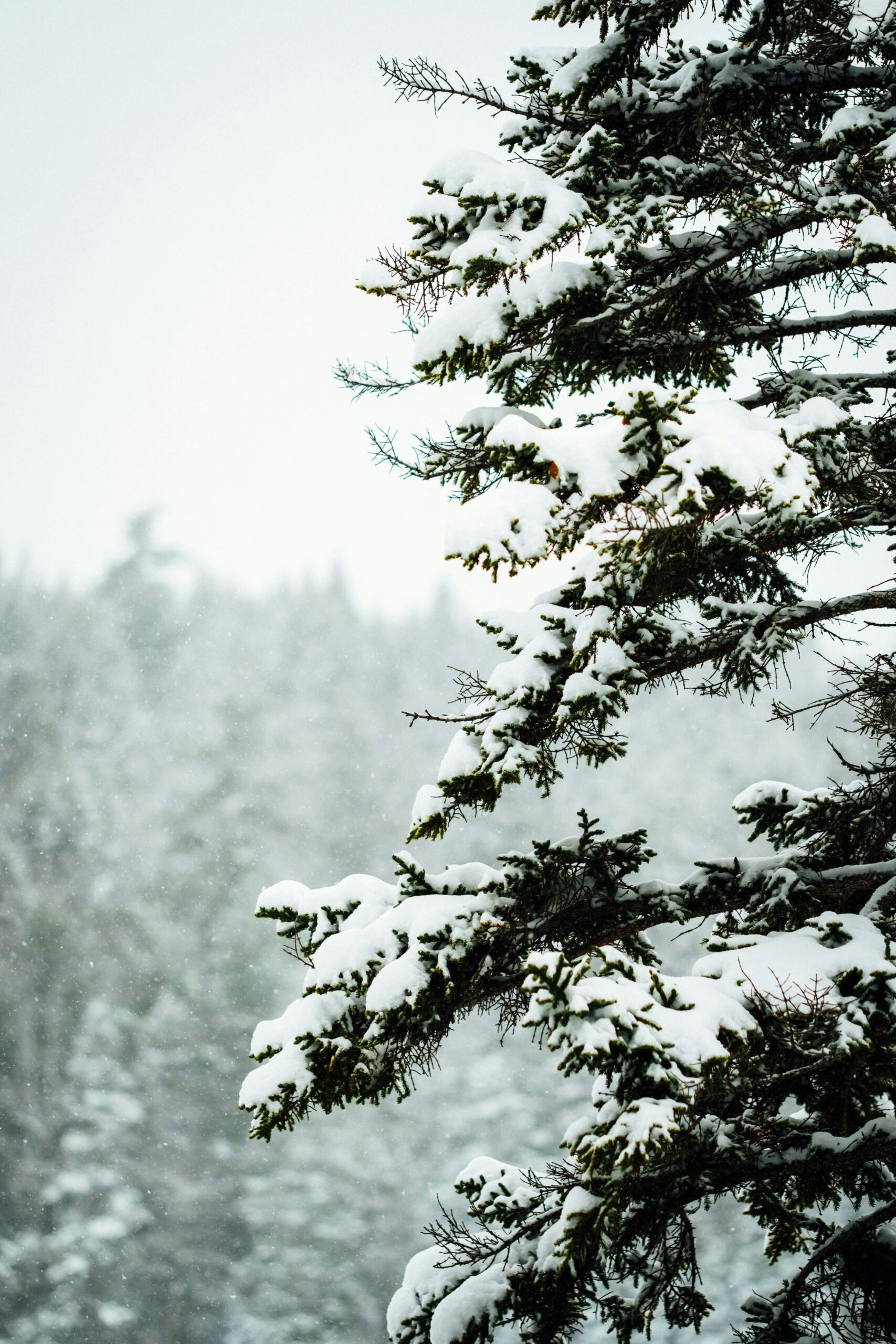
The National Weather Service rolled out winter storm warnings for big stretches of the Sierra Nevada, and heavy snow is already making travel dicey through Sunday night. Some of the highest elevations could get up to 3 feet, and strong winds are only making things worse on the mountain passes.
National Weather Service Updates and Advisories
A Winter Storm Warning is still in effect for the Sierra Nevada and covers both northern and central California. The National Weather Service added alerts for the Greater Lake Tahoe area, with specific warnings out for Markleeville, Glenbrook, and others.
They’ve put out winter weather advisories and storm warnings from Lassen County all the way down to Mono County. Up to 3 feet of snow could pile up in the highest spots, and more is coming through the weekend.
Active Alert Types:
- Winter Storm Warning (highest elevations)
- Winter Weather Advisory (lower mountain areas)
- Chain control requirements (all mountain passes)
Forecasters say snowfall rates might get intense, causing whiteout conditions and almost no visibility up on the Sierra crest.
Affected Areas and Snow Levels
The Donner Pass area and Mono County are under Winter Storm Warning, with snow levels bouncing around depending on elevation. The west slope of the northern Sierra Nevada is getting hammered, and the snow is stacking up at different rates.
Snow Accumulation by Elevation:
| Elevation Range | Expected Snowfall |
|---|---|
| Lake level | 6-10 inches |
| Above 7,000 feet | 12-28 inches |
| Highest elevations | Up to 3 feet |
Northern Sierra spots like Plumas County are getting a good amount, while Lake Tahoe basin is looking at 6-10 inches at lake level. Above 4,500 feet, totals are hitting 1 to 2 feet, and the highest peaks might see 3 or 4 feet.
Strong winds are whipping up plenty of blowing snow on ridges and passes. Those gusts are making for some nasty whiteout conditions all over the region.
Timeline and Storm Duration
The Winter Storm Warning started at 2 p.m. Saturday and runs until 11 p.m. Sunday for the Lake Tahoe area. Right now, snow is falling hard in the Sierra, and things probably won’t get much better until late Sunday.
Travel took a turn for the worse Friday night. Chain controls are up on all the passes, and Sunday travel looks especially sloppy and risky.
This storm keeps dumping snow and cutting visibility in a bunch of places. Lassen Park and the northern areas are still getting hit, and the Sierra’s just rough all around for the time being.
Travel Impact: I-80, Highway 50, and Key Sierra Routes
Interstate 80 is closed from Colfax to the Nevada state line because of low visibility and just plain dangerous conditions. Highway 50 and other major Sierra routes are in the same boat, with chain controls in place all over the mountain passes.
I-80 Donner Pass and Sierra Passes Road Conditions
I-80 is closed to westbound traffic from Colfax to the Nevada State Line (as of 1:45 AM, April 12, 2026). The closure happened because blowing snow and whiteouts made Donner Pass basically impassable.
If you’re heading east, you’ll hit chain controls starting 3.4 miles east of Gold Run through the Nevada State Line. Unless you’re in a four-wheel-drive with snow tires all around, you’ve got to carry chains. Westbound chain rules start at the Nevada border and go to 2.1 miles east of Baxter.
Caltrans set up truck screening at Applegate for eastbound traffic and at Mogul (5 miles west of Reno) for westbound trucks. Drivers need max chains to get through. Permit loads aren’t allowed through the Sierra Crest during this storm.
Snowfall is coming down hardest at higher elevations, where 1 to 2 feet is expected above 4,500 feet. The tallest passes might get 3 or 4 feet.
Highway 50 and Additional Sierra Roadways
Highway 50’s in rough shape too. Caltrans is warning about chain controls, traffic holds, and long delays along the route from Sacramento to Lake Tahoe.
Yosemite routes are closed or just plain nasty as the storm spreads out across the Sierra. Snow levels dropped to about 4,500 feet, so even the lower passes that usually stay open in spring are getting hit.
Blowing snow makes it hard to see on all the Sierra roads. Drivers are running into sudden changes in conditions as the snow picks up and drops off throughout the day.
Caltrans Chain Controls and Traffic Protocols
Caltrans has R2 chain controls in place across the Sierra. With R2, you need chains on everything except four-wheel-drives with snow tires on all wheels.
All westbound trucks have to stop at the brake check area half a mile west of Nyack to avoid brake fires on steep hills. Truck screening stations are checking to make sure drivers have enough chain gear before letting them through.
Current chain requirements:
- Eastbound I-80: 3.4 miles east of Gold Run to Nevada State Line
- Westbound I-80: Nevada State Line to 2.1 miles east of Baxter
- Highway 50: Multiple control points
- Permit loads: Not allowed on any Sierra routes
Road Closures and Real-Time Route Updates
California's Sierra travel has basically stopped as this storm—the worst in years—shuts down highways left and right. Roads vanished under snow way faster than most people expected.
Real-time updates are crucial since things change so fast. The National Weather Service is telling folks to just delay any trips if they can. If you have to go, drive super carefully and be ready for sudden whiteouts.
Traffic holds can pop up with zero warning if the snow gets heavier or the wind kicks up. If you’re already out there, you might be stuck for a while—there aren’t really any quick detours through the Sierra passes when things get this bad.
Lake Tahoe, Yosemite, and Regional Snowfall Forecasts
The National Weather Service keeps winter storm warnings up for a bunch of Sierra zones, especially around Lake Tahoe and Mono County, where big snow totals and dangerous roads are the story. Heavy snow is expected to keep pounding the passes and could bring whiteout conditions into the weekend.
Lake Tahoe Winter Storm Warning and Impacts
The Lake Tahoe area is under a winter storm warning as this strong late-season system rolls through. Snow totals of 1 to 2 feet are expected above 4,500 feet, with even more possible along the Sierra crest.
Wind gusts could get pretty wild, blowing snow around and making it nearly impossible to see in some spots. When you add heavy snow and strong winds, you’re looking at whiteout conditions and some of the worst travel you can imagine. Snowfall rates could spike during the storm’s peak.
The west slope of the northern Sierra Nevada will probably take the brunt of it. If you’re traveling, be ready for things to go downhill fast and for roads to close out of nowhere around the Lake Tahoe basin.
Yosemite and Mono County Snow Forecast
A winter storm warning covers Mono County and areas south of Yosemite, and forecasters say we could see some pretty wild snow totals through Friday evening. Up in the highest elevations—think around Sequoia National Park and nearby mountain zones—snow might pile up 4 to 7 feet above 7,000 feet. That’s a lot, even for the Sierra.
Yosemite routes face closures and challenging conditions as this storm keeps dropping snow. Gusts could hit 55 mph, making it even trickier to get across those mountain passes and exposed ridges.
This storm looks serious. Folks in Mono County should get ready for heavy snow, travel headaches, and maybe even power outages, especially in the more remote spots.
Regional Snow Accumulation Totals
Snow Accumulation by Elevation:
- Above 7,000 feet: 4-7 feet
- 4,500-7,000 feet: 1-3 feet
- Below 4,500 feet: Minimal accumulation
The central Sierra Nevada mountains between Yuba Pass and Ebbetts Pass look set for the biggest snow totals. The National Weather Service expects up to 3 feet of snow in the highest elevations from Lassen County all the way down through Mono County.
Sierra passes will get hit with ongoing snow showers, and sometimes it’ll come down fast. The Sierra crest sits right in the bullseye for the worst of it, and if the storm shifts even a little, totals could blow past what’s been forecast. That’s just how these mountain storms go sometimes.
Winter Travel Safety, Emergency Preparation, and Next System Outlook
Driving in the Sierra Nevada in winter isn’t for the faint of heart. You really need to prep—chains, emergency supplies, and a sharp eye on incoming weather systems that could mess with your plans.
Safety Tips for Driving During Winter Storms
Always keep chains in the car when you’re heading over mountain passes during a winter storm warning. Caltrans can throw up chain controls with almost no warning. Check road conditions before you leave so you don’t end up stuck on I-80 or Highway 50 with nowhere to go.
Reduced visibility when the snow’s coming down means you need to slow way down and leave extra space. Turn on your headlights, and don’t slam the brakes or gun it on slick roads. If things get sketchy, it’s honestly safer to pull over than try to push through.
Road closures can happen fast if snow showers ramp up or avalanche risk spikes. Keep an eye on Caltrans highway info for real-time updates on chain requirements and closures. Try to keep your gas tank at least half full in case you get delayed or rerouted.
Preparing Emergency Kits and Supplies
Pack an emergency kit with blankets, water, snacks that won’t spoil, flashlights, batteries, and a first aid kit. Winter storm prep also means tossing in an ice scraper, some sand or kitty litter for traction, and jumper cables.
Chargers and power banks are a must—you’ll want your phone working if you get stuck. Extra warm clothes, gloves, hats, and waterproof boots help if you end up outside the car for a while.
Don’t forget meds, baby gear, and pet stuff if you’re traveling with kids or animals. And bring a paper map—GPS can fail in the mountains, especially when the weather gets nasty.
Outlook for Additional Storms and Weather Changes
The low-pressure system over the Sierra Nevada keeps dumping heavy snow today. Forecasters think more storms could roll in soon, which might mean even deeper snow piling up on the mountain passes.
If you're traveling, it's smart to keep an eye on the latest forecasts—things can shift fast out there. Long stretches of stormy weather might force crews to put up chain controls or even close highways for a bit while they dig out the roads and check for avalanche danger.


