California Gold Country Road Trip: Ultimate Highway 49 Guide
Highway 49 runs about 277 miles through the Sierra foothills, stitching together mining camps that grew rich, burned down, rebuilt, and quieted into the small towns you'll drive through today, according to a firsthand account of the route. I've driven pieces of it more times than I can count, usually with a cooler in the back seat and no fixed plan past the first night's motel. That looseness works in your favor here.
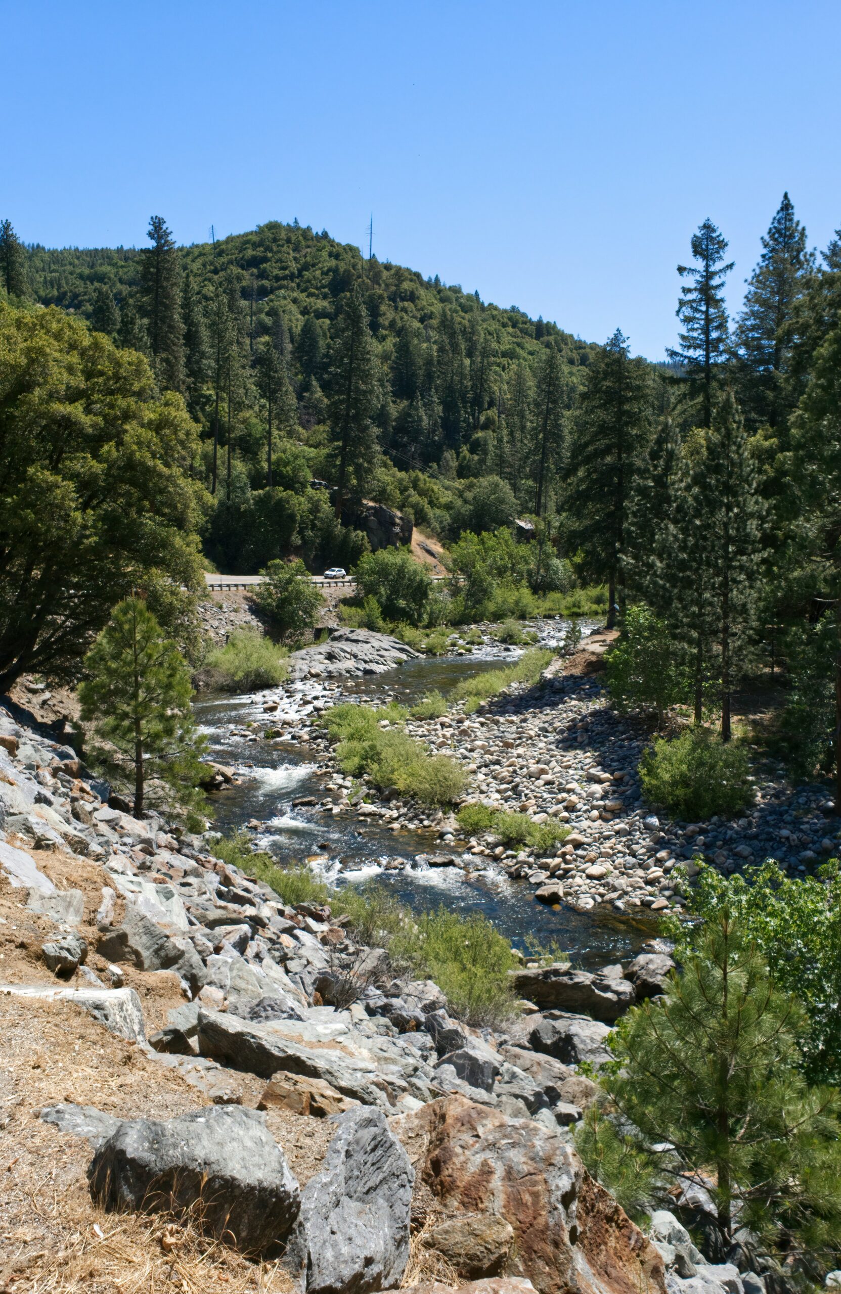
Gold Country isn't one town, and it isn't one drive. It's a long, uneven string of places, some right on Highway 49, some tucked into canyons a half hour off it, connected by a shared history that starts with James Marshall spotting flecks of gold in the American River in 1848 and ends up reshaping the entire state, and the lives of the Miwok and Maidu people who had lived on this land for generations, in ways that still echo through local museums and place names.
Planning a California Gold Country road trip well means picking a cluster of towns that fits your timeline, rather than trying to hit all of Highway 49 in one exhausting sweep. Whether you've got a long weekend or a proper week, I can walk you through how I'd build the drive, mile by mile, town by town, so you land in Sacramento or San Francisco and drive straight into a trip that actually fits the days you have.
California Gold Country Road Trip: Ultimate Highway 49 Guide
How to Plan the Route and Timing
Start in Sacramento if history and pacing matter more to you than scenery, and start in San Francisco if you want a slower build with vineyards and coastline before the foothills begin. Highway 49 threads north to south through the Sierra Nevada foothills between Lake Tahoe and Yosemite National Park, and how you approach it depends on your flight, your timeline, and how much mountain driving you're comfortable adding to the mix.
Where Should You Start: Sacramento or San Francisco?
Sacramento International Airport puts you closest to the action, about a 30 to 45 minute drive from Rancho Cordova, Folsom, and the southern Gold Country towns along Highway 49. Rental counters here move fast, and you can be standing in Old Sacramento within the hour. San Francisco works better if you're combining Gold Country with wine country or the coast, but budget an extra two to three hours of driving before you hit the foothills.
How Many Days Do You Need for Each Route Cluster?
A weekend covers one cluster well: Sacramento through Placerville, or Sonora through Columbia, without rushing. Three to four days lets you connect two clusters, say Sacramento to Sutter Creek to Sonora, with real time to walk around instead of just photographing storefronts from the car. A full week opens up the northern stretch toward Grass Valley and Nevada City, plus a detour to Lake Tahoe or Truckee if the mountains are calling.
When Are Highway 49 and High-Elevation Detours Open?
Highway 49 itself stays open year-round since it mostly threads through the lower foothills, but the high-elevation detours are a different story. Highway 108 over Sonora Pass and the Ebbetts Pass Scenic Byway typically close from late fall through spring, sometimes into June depending on snowpack, cutting off quick access to alpine lakes like Pinecrest Lake and the Emigrant Wilderness inside Stanislaus National Forest. Check current conditions before you commit to a route that assumes those passes are clear.
What Should You Know Before Driving Mountain Roads?
Highway 49 itself is manageable in any season, but the roads branching off it, especially toward Sonora Pass, involve tight switchbacks, steep grades, and long stretches without cell service or gas stations. Fill your tank before climbing, and if you're pulling a trailer or driving something underpowered, ask locally about current conditions before you commit to the pass. This is one part of your California road trip planning worth double-checking the night before you leave.
Build Your Itinerary Around the Southern Mother Lode
The southern Mother Lode is where the Gold Rush actually started, and it's the easiest cluster to reach from Sacramento in a single afternoon. This stretch runs from the capital through Coloma, Placerville, Amador County, Tuolumne County, and down into Calaveras County, with each town offering a different flavor of the same story.
Sacramento, Old Sacramento, and Folsom: Start With the Gold Rush Supply Network
Sacramento grew because it supplied the miners, not because it mined gold itself, and Old Sacramento still shows that legacy in its wooden boardwalks and brick storefronts along the riverfront. The Sacramento History Museum and the California State Railroad Museum both dig into how goods, people, and eventually rail lines moved through this city during the rush. Folsom, a short drive east, adds a walkable historic downtown and easy access to the American River before you head into the foothills proper.
Coloma and Placerville: See Where the Rush Began
Coloma is where James W. Marshall spotted gold in the American River in January 1848 while building a sawmill for Sutter's Mill, and Marshall Gold Discovery State Historic Park preserves that stretch of riverbank along with a reconstructed mill. Gold panning here feels almost obligatory, and outfitters offering All-Outdoors rafting and river rafting trips run the same stretch of the American River for a faster-paced afternoon.
Placerville, a few miles south, keeps its Gold Rush bones visible in Old Town Placerville's brick buildings, and Gold Bug Mine lets you walk into an actual hard-rock mine shaft. Stay the night at the Cary House Hotel or grab a meal at Smith Flat House or Argonaut Farm to Fork Cafe, then swing through El Dorado County's Apple Hill if you're passing through in fall, when Apple Hill Growers open their orchards and farm stands.
Sutter Creek and Amador: Add Wine, Food, and Small-Town Stays
Amador County sits at the heart of the Mother Lode, with a history that stretches back to Miwok villages and grinding rocks long before any prospector arrived, through some of the deepest hard-rock gold mines in the state, according to a detailed regional itinerary.
Sutter Creek is the town to base yourself in here, with antique shops, tasting rooms, and B&Bs lining a Main Street that still feels lived-in rather than staged. Amador's wineries cluster along the Shenandoah Valley just east of town, making this the easiest stretch of the drive to combine Gold Country history with an actual wine-tasting afternoon.
Sonora, Jamestown, and Columbia: Choose a Tuolumne County Base
Sonora earned the nickname Queen of the Southern Mines for good reason. Its downtown, centered on Main Street Sonora, has more surviving 19th-century commercial buildings than almost anywhere else on Highway 49.
Jamestown, just south, is home to Railtown 1897 State Historic Park, where you can ride a steam train on tracks that once hauled ore and lumber through Tuolumne County.
Columbia State Historic Park, a few minutes further, is the most complete preserved Gold Rush town on the whole route, with no cars allowed on its main street and docents in period dress running the general store and blacksmith shop.
Angels Camp and Murphys: Pair Mark Twain Lore With Caverns and Vineyards
Angels Camp leans into its Mark Twain connection hard, thanks to the writer's short story about a jumping frog contest set here, and the Angels Camp Museum covers both that literary history and the mining boom that preceded it. Moaning Cavern, just outside town, drops you 165 feet underground on a spiral staircase through a cavern chamber large enough to fit the Statue of Liberty.
Murphys is the prettiest stop in Calaveras County, with Murphys Main Street lined by tasting rooms, and Ironstone Vineyards just outside town pairing wine with a massive outdoor amphitheater and a museum-grade collection of mining artifacts, including a 44-pound gold specimen on display.
Extend North for Mining Heritage and Sierra Adventures
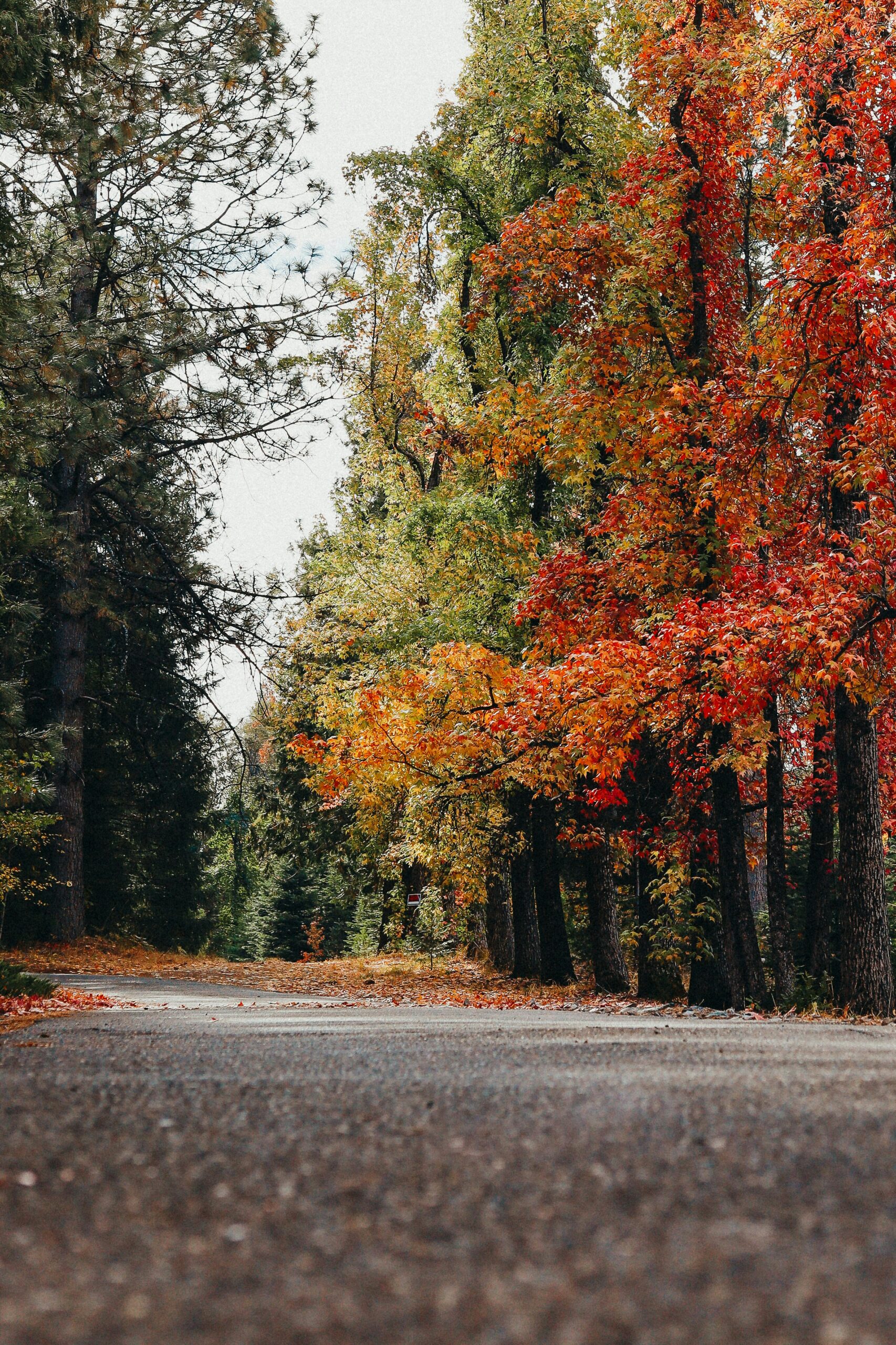
The northern Gold Country cluster trades some of the polish of Amador and Calaveras for rougher, more remote mining history, along with quicker access to genuine Sierra outdoor recreation. This stretch runs from Auburn up through Grass Valley, Nevada City, and Downieville, with a separate southern detour toward Mariposa and Yosemite's western gateway.
Auburn and the American River: Museums, Trails, and Rafting
Auburn works well as your first stop heading north from Sacramento, with Old Town Auburn's gold-domed courthouse and brick storefronts giving you a compact, walkable introduction to Placer County history. The Placer County Museum covers the region's mining past in more depth than you'd expect from a small-town exhibit, and the American River canyon just below town offers some of the best whitewater rafting access on this whole route. If wine and beer are part of your plan, the Placer Wine & Ale Trail links several producers scattered around the county, useful for an easy afternoon between hikes.
Grass Valley and Nevada City: Explore the Most Walkable Historic Districts
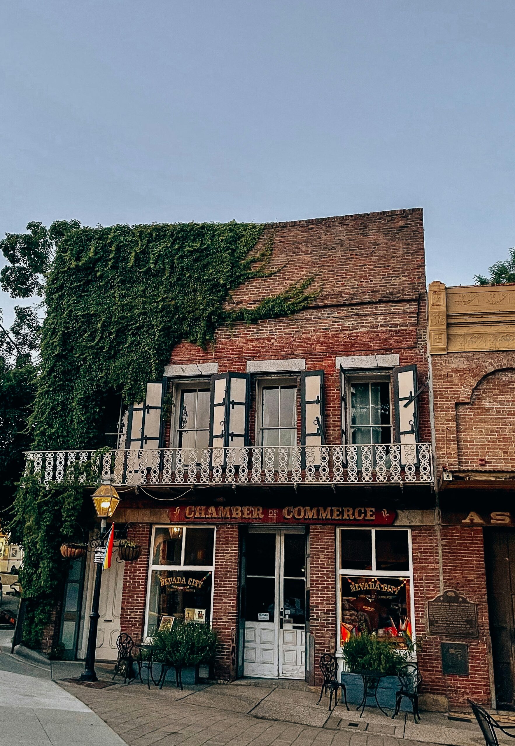
Grass Valley and Nevada City together form the most walkable pair of historic districts anywhere along Highway 49. Empire Mine State Historic Park in Grass Valley preserves one of California's oldest, deepest, and richest gold mines, with mine buildings and equipment you can walk through rather than just view from behind glass. Nevada City's Broad Street is the better of the two for an evening stroll, with Victorian buildings, restaurants, and shops packed into a few walkable blocks in Nevada County.
Malakoff Diggins and Downieville: See the Environmental and Mountain Legacy of Mining
Malakoff Diggins State Historic Park shows the environmental cost of gold mining more starkly than any other stop on this route. Hydraulic mining here carved a canyon of exposed red and orange cliffs that looks almost like a small-scale Bryce Canyon, a permanent scar left by a mining method eventually outlawed in California for the damage it caused downstream.
Downieville, further north in Sierra County, has reinvented itself as a mountain biking destination, with trail networks built into the same steep terrain that once drew gold miners.
Mariposa and the Yosemite Gateway: Add a Southern Scenic Detour
Mariposa makes sense as a stop if Yosemite National Park is part of your route, since it sits along the southern end of Highway 49 near Yosemite's western entrance. The California State Mining and Mineral Museum here covers the science and history of mining, with a rotating collection of gold specimens and gems.
Just southeast, Calaveras Big Trees State Park protects groves of giant sequoias, and the Arnold Rim Trail near White Pines Lake adds a solid day hike if you want to break up driving time with something purely scenic.
How to Mix Wineries, Craft Beer, and Outdoor Days
Balancing tasting rooms with trail time keeps a Gold Country trip from feeling like a museum crawl. The Sierra Nevada Logging Museum near Arnold pairs well with an afternoon at Kennedy Meadows Pack Station if you want a horseback or mule-supported taste of the high country.
Craft beer has grown alongside the wine scene throughout the foothills, and alternating a winery afternoon with a brewery evening spreads out the driving and the tasting in a way that suits longer trips better than back-to-back wine days.
Choose the Stops That Match Your Travel Style
Matching your Gold Country stops to your travel style starts with picking one anchor city and building outward, rather than trying to string every Highway 49 town into a single loop. Sacramento suits travelers who want history with easy logistics, since Old Sacramento, the Railroad Museum, and quick access to Placerville and Coloma all sit within an hour's drive. Sonora and Columbia suit travelers who want an immersive, well-preserved Gold Rush town without much driving between stops. Nevada City suits travelers prioritizing walkability, food, and a slower, small-town evening pace.
| Travel Style | Best Base | Why It Works |
|---|---|---|
| History-focused weekend | Sacramento / Placerville | Compact drives, museums, mine tours |
| Immersive Gold Rush town | Sonora / Columbia | Preserved streets, no car traffic in Columbia |
| Walkable evenings, food and shops | Nevada City | Victorian downtown, restaurants within blocks |
| Outdoor-heavy trip | Auburn / Downieville | River rafting, mountain biking trails |
| Combine with Yosemite or Tahoe | Mariposa / Truckee-adjacent stops | Direct routes into the parks |
If Lake Tahoe or Yosemite National Park bookends your trip, build your Gold Country stops as the middle chapter rather than an afterthought squeezed between two bigger destinations. A three-day trip built around Sacramento, Placerville, and Sutter Creek gives you real depth without much driving fatigue. Anyone extending toward Tahoe or Yosemite should treat Highway 49 as the connective thread, not a detour, since it's already running roughly parallel to both.
Gold Country rewards travelers who pick a cluster and go deep instead of chasing every town on Highway 49 in one trip. Start in Sacramento or San Francisco depending on how much foothill driving you want upfront, build your days around one or two clusters like the southern Mother Lode or the Grass Valley and Nevada City pairing, and check seasonal road conditions before adding any high-elevation detour toward Sonora Pass or Ebbetts Pass.
The towns along this route carry real weight, both in what the Gold Rush built and in what it cost the Miwok and Maidu communities who lived here first, and giving yourself enough time in each stop makes that history land instead of blur past the windshield.


