Best California National Parks: All 9 Parks + Visitor Guide
California claims nine national parks, more than any other state. I’ve spent years wandering these places—from Yosemite’s granite icons to the desert hush of Joshua Tree—and honestly, each one has a personality of its own. If you’re after a quick answer, I’d put Yosemite at the top for overall hiking, camping, and photography, but really, the best park is the one that matches what you want most.
Trying to pick between granite peaks, ancient sequoias, lava domes, and endless desert? Yeah, it’s a lot. So here, I’ve broken down the best national parks in California for hiking, camping, photography, stargazing, and wildlife. That way, you can pick a park based on your priorities, not just guesswork.
I’ll also get into what it actually takes to visit all nine parks in one go, including a practical route for a California national parks road trip. Whether you’re plotting a weekend escape or a long haul across the state, I want to give you a real, experience-based California national parks ranking—not just a recycled list.
Best California National Parks: All 9 Parks + Visitor Guide
The Nine Parks at a Glance
Each of California’s nine national parks brings something different. Granite peaks, volcanic craters, coastal islands—there’s just no way to lump them together. Here’s what stands out in each one, at least from my time on the ground.
Yosemite National Park
Yosemite, right in the Sierra Nevada, is famous for granite cliffs, waterfalls, and giant sequoia groves. I always think of Yosemite Valley first—El Capitan and Half Dome lure in climbers and hikers from everywhere.
The park covers nearly 1,200 square miles. If you want to see more than the valley, plan for a few days. Tuolumne Meadows feels like a different world in summer—higher, quieter, and less crowded.
Snow blankets the higher elevations in winter, and spring is when waterfalls really show off. Yosemite works for first-timers and seasoned backpackers alike, depending on how deep you want to go.
Sequoia National Park
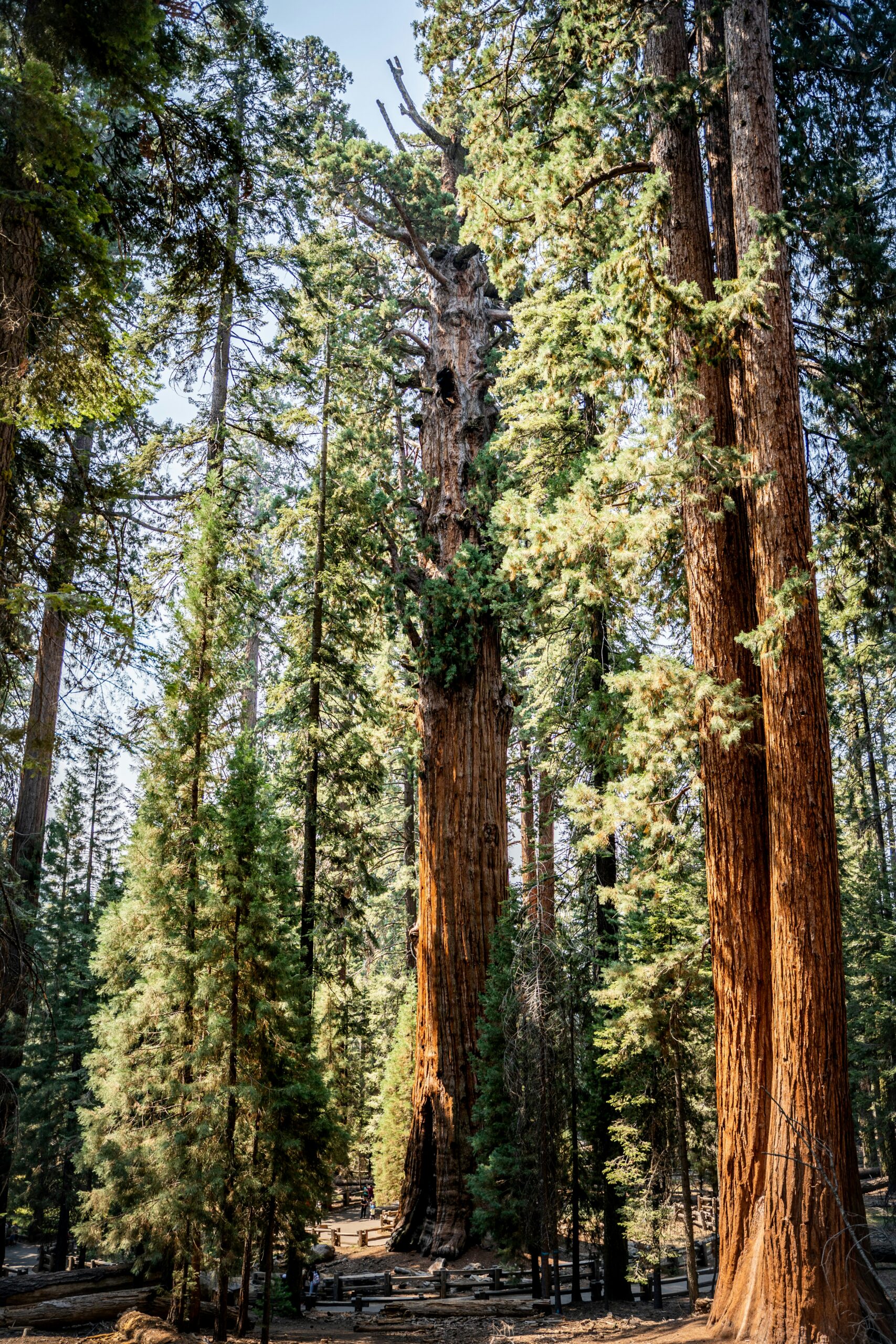
Sequoia National Park shelters some of the planet’s biggest trees. The General Sherman Tree, in particular, feels like the park’s calling card. It’s down in the southern Sierra Nevada, and Mount Whitney, the highest point in the lower 48, rises here too.
I like how Sequoia mixes easy strolls through giant groves with tougher alpine trails. The Giant Forest is super accessible—you barely have to walk to stand under the largest trees.
Sequoia and Kings Canyon are neighbors, sharing an entrance fee and management. I usually tell people to do both if they’re already in the area.
Kings Canyon National Park
Kings Canyon sits just north of Sequoia, carved out by the Kings River into one of the deepest canyons in the country. Those granite walls? They rival Yosemite Valley, but with way fewer tourists.
Grant Grove, with the General Grant Tree, is the easiest stop. If you’re after peace and wilderness, Cedar Grove opens up the high Sierra backcountry.
Kings Canyon is my pick for dramatic scenery minus the crowds. Simple as that.
Death Valley National Park
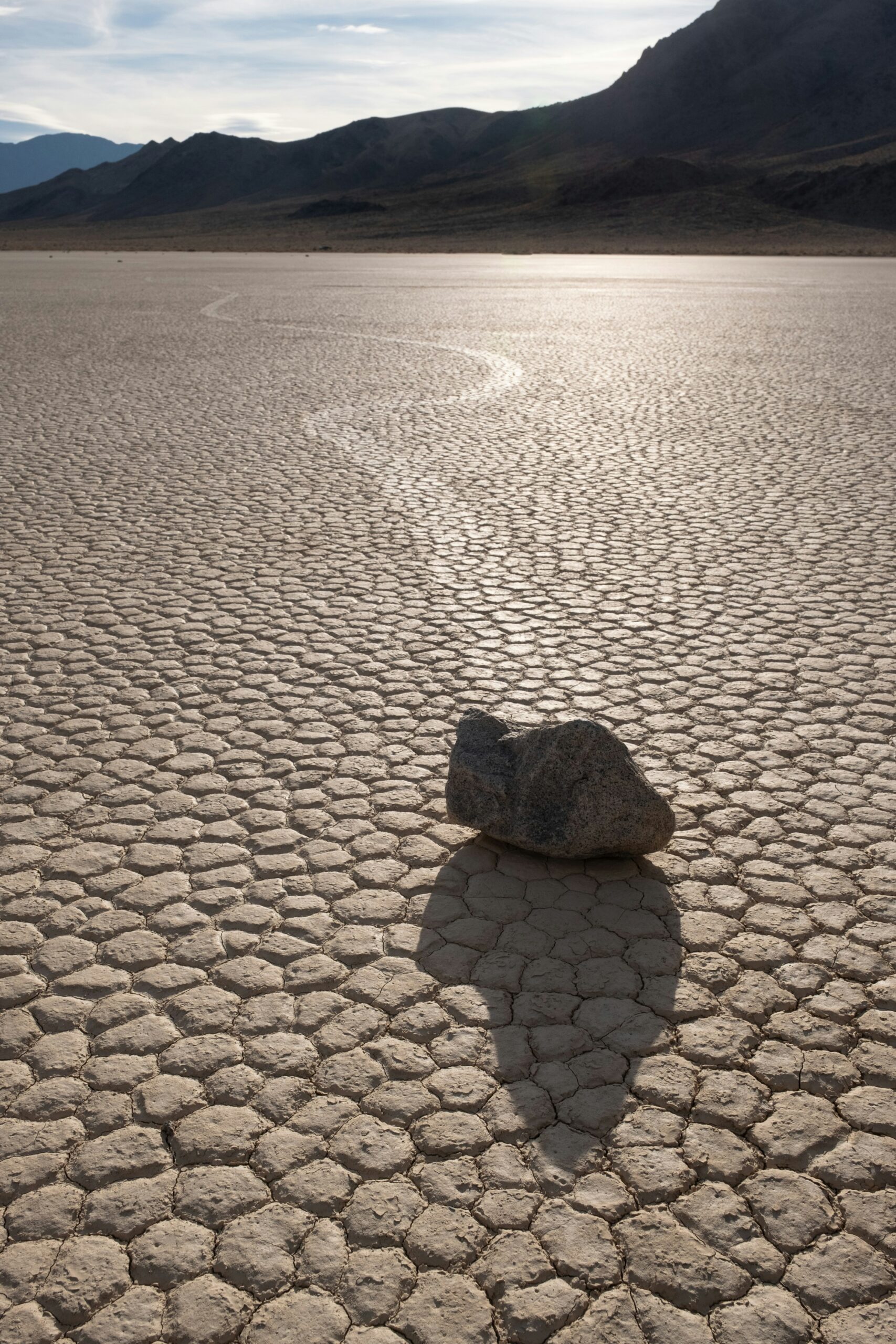
Death Valley sprawls across the Mojave Desert on the California-Nevada line. It’s the hottest place ever recorded on Earth—seriously. I’ve always found the place extreme in every sense, with Badwater Basin sitting 282 feet below sea level.
Despite the name, Death Valley supports plenty of wildlife that’s figured out how to survive here—bighorn sheep, kit foxes, and the like. In wet years, spring wildflowers can be wild.
Go between October and April. Summer? Just don’t. Temperatures over 120°F will ruin your plans fast.
Joshua Tree National Park
Joshua Tree straddles the Mojave and Colorado deserts in SoCal. Those funky Joshua trees and huge boulders are what I picture first, and climbers flock here for good reason.
The sky gets dark enough for some of the best stargazing in the state. Cholla Cactus Garden and Keys View are classic, easy stops. Weather swings hard between day and night, so I always bring layers.
Spring and fall are best for hiking. Summer heat? It’s brutal, and I usually skip it then.
Redwood National and State Parks
Redwood National and State Parks hug the Northern California coast and protect the tallest trees on Earth. It’s a weird hybrid—National Park Service and California State Parks teamed up to manage this patchwork of protected areas.
Some redwoods hit 350 feet or more. Tall Trees Grove and Fern Canyon are my top picks for old-growth magic. The coastline mixes in tide pools and elk herds for good measure.
Fog rolls in most of the year, which adds to the mood but means I never leave my jacket behind.
Lassen Volcanic National Park
Lassen Volcanic National Park in Northern California packs all four types of volcanoes into one spot: shield, composite, cinder cone, and plug dome. Bumpass Hell, with its boiling mud pots and sulfur vents, stands out to me as the park’s signature.
Lassen Peak last erupted in 1915, and you can hike to the top if you’re up for a workout. Snow sticks around into July at higher elevations, so the hiking season feels short compared to the rest.
I’d say Lassen is a solid alternative to Yellowstone if you want geothermal action without the crowds.
Channel Islands National Park
Channel Islands National Park covers five islands off Southern California, and you can only get there by boat or small plane. The isolation means you’ll spot species you won’t see anywhere else—people call it the “Galápagos of North America” for a reason.
Snorkeling and kayaking in the kelp forests are big draws. For a quick trip, Anacapa Island is my go-to. Santa Cruz Island offers more hiking and camping if you want to stay longer.
No services out there—bring all your own food and water. I always double-check my packing list before heading over.
Pinnacles National Park
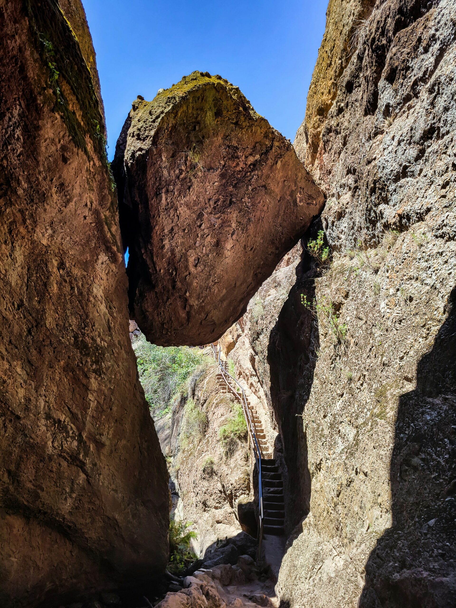
Pinnacles, in Central California, formed from an ancient volcano and now shows off weird rock spires and talus caves. The caves, home to several bat species, are a highlight for me.
The park also serves as a release site for California condors, and I’ve had some luck spotting them from the higher trails. Its location near the Salinas Valley makes it an easy detour if you’re in the area.
Spring wins for me—mild weather and wildflowers everywhere.
Which Park Fits Your Travel Style?
Each California park rewards a different kind of traveler. I’ve learned that matching the park to your pace, group, and expectations matters way more than copying someone else’s ranking.
Best Choice for First-Time Visitors
I send first-timers to Yosemite, no question. It’s the classic: granite cliffs, waterfalls, deep forests, and you can see a lot in a single driving loop.
Give yourself two to three days. Parking gets ugly in Yosemite Valley, and if you rush, you’ll just circle lots instead of hitting the trails.
If I’m building a California road trip and have to pick one anchor, this is it. Trails go from paved strolls to full-day hikes, so it’s flexible for any group.
Best Choice for Families and Scenic Sightseeing
For families, I prefer Sequoia National Park. The main sights—Giant Forest, Moro Rock, General Sherman—sit close together, so you’re not driving all day between stops.
Kings Canyon is a nice bonus if you have extra time, with big canyon views that don’t require a long hike. Joshua Tree also works for families who want short walks and open desert, not big elevation.
Parks where the payoff is quick, without long hikes, are best for families in my experience.
Best Choice for Solitude and Remote Wilderness
If I’m seeking quiet, I go for Kings Canyon or Lassen Volcanic. Both are off the main tourist trail, so even in summer, crowds thin out a lot.
Death Valley is another solid bet for solitude, especially if you get away from Furnace Creek. I’ve driven stretches out there without seeing another soul—great if you’re okay with distance and few amenities.
For serious backcountry, Kings Canyon is the toughest. Only go if you’re ready for steep climbs, minimal signs, and spotty cell service.
Best Choice for a Quick Day Trip
Short on time? Pinnacles is my favorite. It’s compact, and you can hit the main trails, caves, and condor spots in one go.
Joshua Tree also works for a quick visit, especially if you’re already crossing the Mojave Desert. You don’t need a multi-day plan like you do for Yosemite or Death Valley.
I skip trying to cram Kings Canyon, Death Valley, or the Redwoods into a single day. Their best stuff is too spread out—you’ll spend more time in the car than outside.
How to Use a Personal Ranking
I don’t see any California national parks ranking as fixed. The “best” park changes depending on what you want that trip. A list for photographers won’t work for campers or wildlife fans.
When I make my own list, I ask: How much time do I have? How far am I willing to drive? And how much effort am I up for? That’s the same logic I’d use comparing California parks to somewhere like Yellowstone—the pacing and distance matter as much as the views.
Once I’m honest about those, the right park usually jumps out.
Top Destinations for Hiking and Climbing
Granite walls, volcanic craters, desert boulders, and coastal cliffs—California gives me nine totally different hiking and climbing scenes in one state. For me, picking the right terrain for my skill level always matters more than chasing the most Instagrammed trail.
Granite Trails in Yosemite
Yosemite sets the bar for granite landscapes in California, at least in my mind. The Mist Trail pushes me up past Vernal and Nevada Falls, and that stone staircase gets slick with spray in spring—sometimes I just brace myself and keep climbing.
When I want some real elevation and a bit of adrenaline, I’ll head up toward Upper Yosemite Falls or wander out to Taft Point, where only a guard rail separates me from a dizzying drop.
Glacier Point hands me a sweeping view of the valley without much effort, while Mirror Lake is my go-to for an easy, flat stroll. El Capitan lures hardcore climbers for those big-wall ascents, and Half Dome is still the classic challenge—cables, lottery permit, all-day grind, the whole deal.
High Sierra Routes in Sequoia and Kings Canyon
Honestly, I treat Sequoia and Kings Canyon as one big hiking network. Moro Rock gives me a short, sharp climb up granite stairs to a summit that looks out over the Great Western Divide. The Congress Trail loops me through some of the largest sequoias anywhere, on flat pavement—easy, but never boring.
Kings Canyon gets a little wilder. The Rae Lakes Loop is a multi-day backcountry trek through alpine lakes that I wouldn’t even try without some real wilderness miles and a permit lined up.
| Trail | Difficulty | Best For |
|---|---|---|
| Congress Trail | Easy | Sequoia viewing |
| Moro Rock | Moderate | Panoramic views |
| Rae Lakes Loop | Strenuous | Multi-day backcountry |
Desert Walks and Bouldering in Joshua Tree
Joshua Tree’s got a whole different vibe—totally different rock, and honestly, I plan for heat, not elevation. Hidden Valley is an easy loop, circled by boulders that climbers scramble year-round.
Skull Rock sits right by the road, so I can stroll over in a couple minutes. I skip midday hikes here, especially from May through September. The desert heat is no joke—it’s the real challenge, not the trails themselves.
Volcanic and Cave Trails in Lassen and Pinnacles
Lassen Volcanic and Pinnacles both throw me into trails carved by volcanic forces, but they couldn’t look more different. Lassen Peak is a steep, short summit hike with a lung-busting climb, and I usually stop off to check out Kings Creek Falls or the bubbling pools at Bumpass Hell.
Pinnacles is another story. I wind along the High Peaks Trail through tight rock corridors and switchbacks, then duck into the Bear Gulch Cave system—talus caves made by boulders wedged into canyons. I always check if the caves are open first, since they close them seasonally for bats.
Coastal Island Hikes
Channel Islands National Park is the only one on this list where I need a boat just to get started. Once I’m on Santa Cruz Island, Potato Harbor gives me a bluff-top walk with ocean views and barely any climb.
The trails here stay moderate, but the isolation is what really gets me. I pay close attention to the boat schedule—missing the last one means I’m sleeping on the island, like it or not.
Where to Camp, Stargaze, and Photograph
For me, California’s parks fall into three camps: places I camp for convenience, places I chase the darkest skies, and places I can’t resist photographing. I’ve stopped trying to cram everything into one trip—matching the park to the activity works way better.
Best Campgrounds and Overnight Planning
Kings Canyon and Sequoia land near the top of my best California national parks for camping list because they offer 14 campground options. I pick between sites near giant sequoias or higher-elevation spots, depending on weather and season.
If I want a Yosemite Valley campsite, I set my alarm for opening day and hope for the best—those sites disappear fast from spring through fall. Missed out? I check Manzanita Lake in Lassen Volcanic, which is usually quieter and less stressful to book last-minute.
I always consider elevation and weather. For me, desert parks like Joshua Tree and Death Valley are only good for cooler months. Sierra parks become camp-friendly once the snow finally melts and the roads open up.
Dark-Sky Viewing in the Desert
Death Valley, hands down, is the best California national park for stargazing—dry air, almost no light pollution, and high-elevation lookouts. On a clear night, I can see the Milky Way stretch overhead with zero special gear.
Joshua Tree comes in second for me. I usually set up near the park’s namesake trees, since they make a killer silhouette against the stars.
Quick breakdown for astrophotography:
| Park | Best Viewing Spot | Why It Works |
|---|---|---|
| Death Valley | Badwater Basin | Extreme low elevation, minimal moisture |
| Joshua Tree | Keys View | High elevation, wide horizon views |
I always toss a tripod and a headlamp with red light into my bag—keeps my night vision intact while I fiddle with camera settings.
Waterfalls, Granite, and Giant Trees for Photography
I put Yosemite at the top as the best California national park for photography. Where else can I shoot waterfalls, granite walls, and ancient trees all in one valley? Tunnel View gives me that classic wide shot, Bridalveil Fall off to the right.
For trees, I always wander Mariposa Grove and the Giant Forest—General Sherman is a must. I like shooting from a low angle to really show off the sequoias’ height.
Bridalveil Fall is best in spring, when the snowmelt turns it into a torrent. By late summer, it’s barely a trickle, so I plan my shots for peak flow if I want drama.
Desert Color and Salt Flat Photo Stops
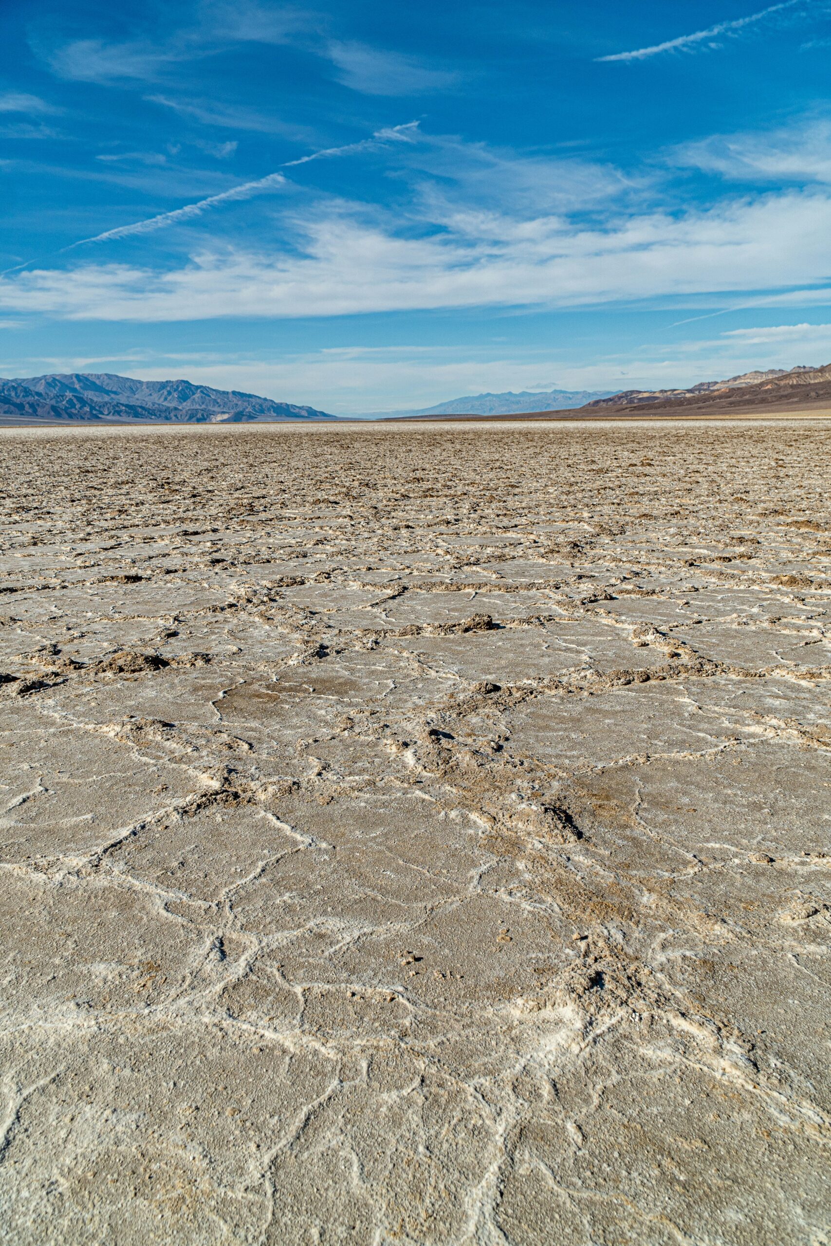
Death Valley delivers some of the wildest color palettes I’ve found anywhere in California. Zabriskie Point at sunrise? The badlands glow gold and orange—totally worth the early alarm.
Artist’s Drive takes me to Artist’s Palette, where minerals paint the hillside pink, green, and purple. I shoot in late afternoon, since the colors pop way more than under the midday sun.
Badwater Basin’s salt flats give me a stark white foreground, especially after rare rain creates mirror-like pools. Mesquite Flat Sand Dunes (or Mesquite Sand Dunes—people use both names) offer a totally different texture. I go for sunrise or sunset to catch the ripples and shadows at their best.
Coastal and Island Photography
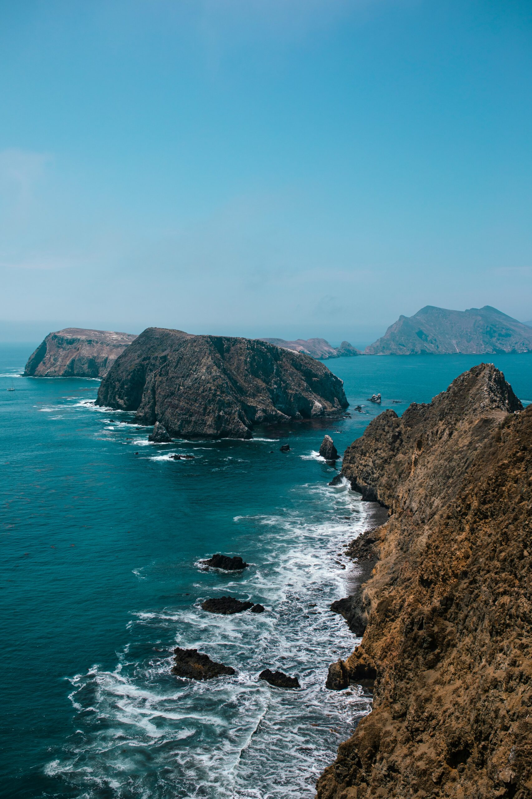
Channel Islands National Park is my pick for coastal photography that’s nothing like the rest of California’s parks. Anacapa Island is all about sea cliffs, arches, and endless ocean views, all packed into one trip.
Arch Rock is the shot I chase here. I try to photograph it from the boat as we approach—that angle really shows off the size and drama against the coast.
I time these trips for calm seas, since rough water makes boat rides miserable and photos shaky. Morning crossings usually mean smoother water and softer light, so I aim for those whenever I can.
Wildlife, Forests, and Volcanic Landscapes
California’s parks give me everything from coastal forests to volcanic ground. I’ve watched species like the California condor and the island fox bounce back here, right alongside bubbling geothermal pools that remind me the ground is still alive underneath.
Redwood Groves and Fern-Filled Trails
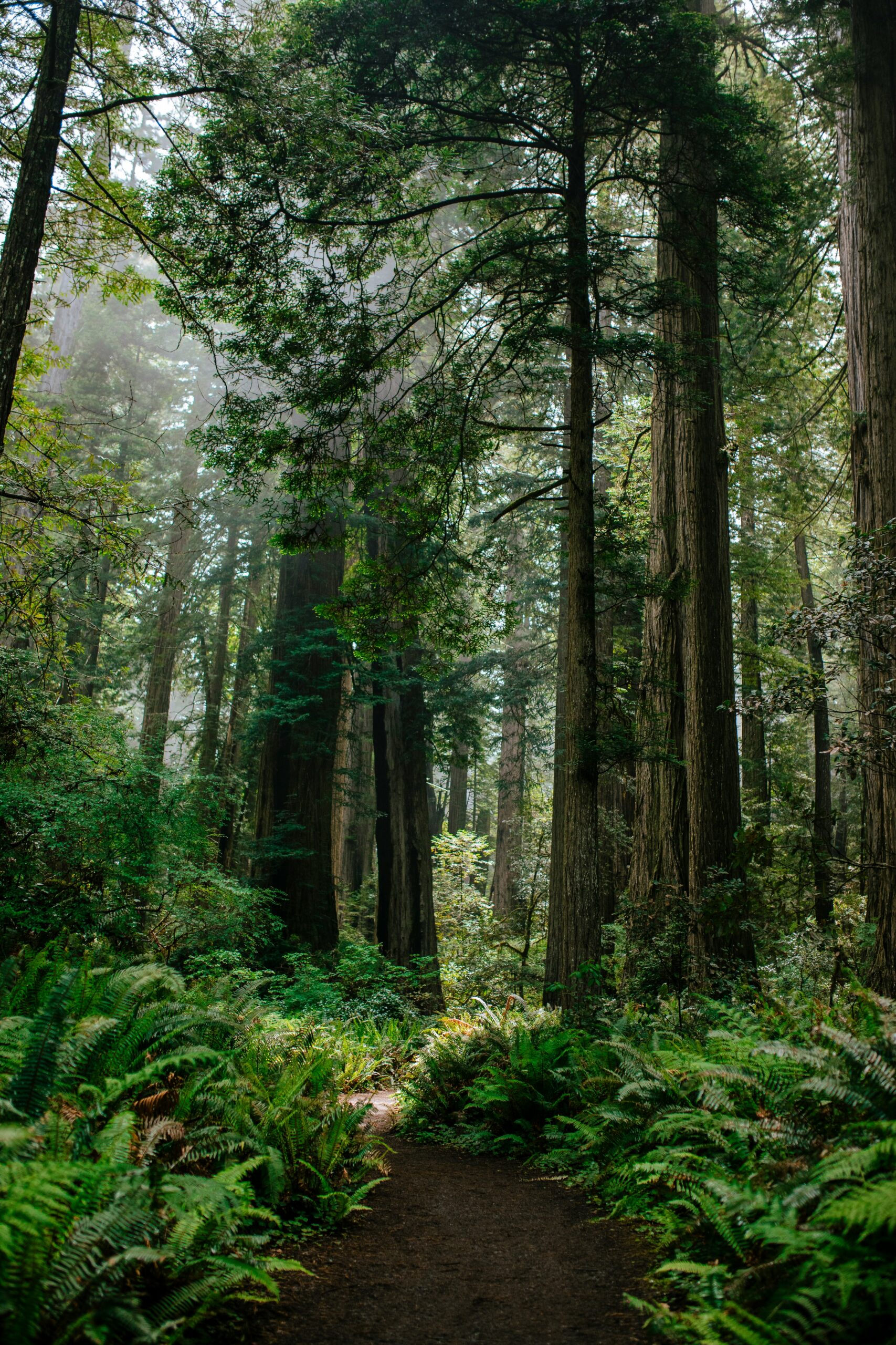
Redwoods National Park is the spot for coast redwoods—the tallest trees on the planet. Some shoot up over 350 feet, and walking under that canopy always puts things in perspective.
Lady Bird Johnson Grove is a mellow, well-marked loop through old-growth. If I want a shorter walk but still want the big-tree feel, that’s the one I pick.
Fern Canyon is another favorite. The walls climb 50 feet and drip with ferns, and sometimes I wade through shallow water on the canyon floor. I always check conditions first—seasonal flooding can shut down access to Fern Canyon and nearby groves.
Condors and Cave Country at Pinnacles
Pinnacles National Park is my go-to for spotting the California condor, which is still one of the rarest birds around. The park runs an active reintroduction program, and I’ve had good luck seeing condors soaring over the rocks, especially in the morning.
I like to stop at Bear Gulch Reservoir for wildlife and scenery. The talus caves nearby house bat colonies, so I check if they’re open—some close during bat breeding season.
Pinnacles really stands out as a best California national park for wildlife contender, just for the mix of condors, bats, and raptors packed into a pretty compact area.
Island Species and Marine Ecosystems
Channel Islands National Park is the only place I’ve seen the island fox, a species you won’t find anywhere else. Santa Cruz Island is my best bet—conservation work has helped the fox population rebound in the last couple decades.
San Miguel Island is the spot for big pinniped colonies. Point Bennett draws thousands of seals and sea lions. I try to time my visit with a ranger-led hike, since access is restricted to protect the animals during breeding season.
The waters around the islands have thick kelp forests, and I think they’re just as worth exploring. Snorkeling or diving here drops me into a dense underwater world full of fish, invertebrates, and sometimes even sea lions.
Hydrothermal Features at Lassen
Lassen Volcanic National Park is where I go when I want to see geothermal activity up close. The park sits right on a volcanic system, and Bumpass Hell is my first stop for boardwalks over fumaroles, mud pots, and bubbling springs.
I keep a safe distance—ground temperatures near the hot springs can get dangerously high. Steam vents and boiling pools shift a bit over time, so I always check trail updates before heading out.
Smaller hydrothermal spots dot the park too, each showing off a different phase of volcanic activity. Lassen is great for seeing how volcanoes keep shaping the land long after an eruption fades from memory.
Responsible Wildlife Viewing
I stick to Leave No Trace principles when I'm near wildlife—always keeping my distance and never feeding animals. That feels especially important in places like Pinnacles and Channel Islands, where sensitive species really need undisturbed habitat.
Here's what I try to remember:
- Distance: I grab binoculars or use my camera's zoom rather than getting closer.
- Food storage: I stash food properly (especially in bear country) so animals don't get used to people.
- Trail discipline: I stay on marked trails to avoid crushing plants or collapsing animal burrows.
- Noise levels: I keep things quiet, especially near nesting spots or breeding grounds.
Sticking to these basics lets me watch wildlife without stressing them out or putting myself in a bad spot.
Build a Road Trip to Visit Every Park
I mapped out the fastest way to hit all nine parks by grouping them into three regional routes, then stringing those together into a single continuous loop. California's parks cluster into northern, Sierra Nevada, and southern desert/coastal bunches, and knowing those clusters makes planning drive times way more manageable.
A Northern California Route
I always kick things off in the north, since Redwood National and State Parks are out on their own. After that, I head south along Highway 101, with a stop at Muir Woods National Monument for some classic Bay Area redwoods.
If I'm up for a detour, I swing east to Lassen Volcanic National Park. I usually set aside three or four days for this stretch. The coastal roads wind a lot, so it's scenic but not exactly fast.
I try to do this route between late spring and early fall, since Lassen's mountain passes finally clear of snow and the coastal fog isn't as relentless.
A Sierra Nevada Route
Next, I point the car toward Yosemite, then keep heading south to Sequoia and Kings Canyon. The Generals Highway runs straight between Sequoia and Kings Canyon, so hopping between them is about as easy as it gets for California parks.
I also drive the Kings Canyon Scenic Byway—it's honestly one of the most jaw-dropping drives in the state. If I've got time, I tack on a stop at Devils Postpile National Monument near Mammoth Lakes.
I usually budget four or five days here, with at least two full days for Yosemite alone.
A Southern California Desert and Coast Route
After the Sierra, I drop down into the desert. Joshua Tree is my go-to entry, and I usually stay near Twentynine Palms for easy access to the north entrance.
From Joshua Tree, I swing through the Colorado Desert section, then head for Death Valley. Sometimes I'll detour through San Gorgonio just for a change of scenery from the desert flats.
For the coastal finale, I cruise through Ventura to reach Channel Islands National Park, then keep going down the coast toward Cabrillo National Monument near San Diego. I give myself five or six days for this desert-to-coast stretch.
How to Combine Parks in Two Weeks
If I have about two weeks, I can link up all three routes into one big California road trip. Here's my usual breakdown:
- Days 1–3: Redwood National and State Parks, then south toward the Bay Area
- Days 4–5: Yosemite
- Days 6–7: Sequoia and Kings Canyon
- Days 8–9: Death Valley
- Days 10–11: Joshua Tree
- Days 12–13: Channel Islands (via Ventura)
- Day 14: Pinnacles, on the return north
This order cuts down on backtracking—basically, I move north to south, then swing back up through the central coast.
Extensions Beyond the Nine Parks
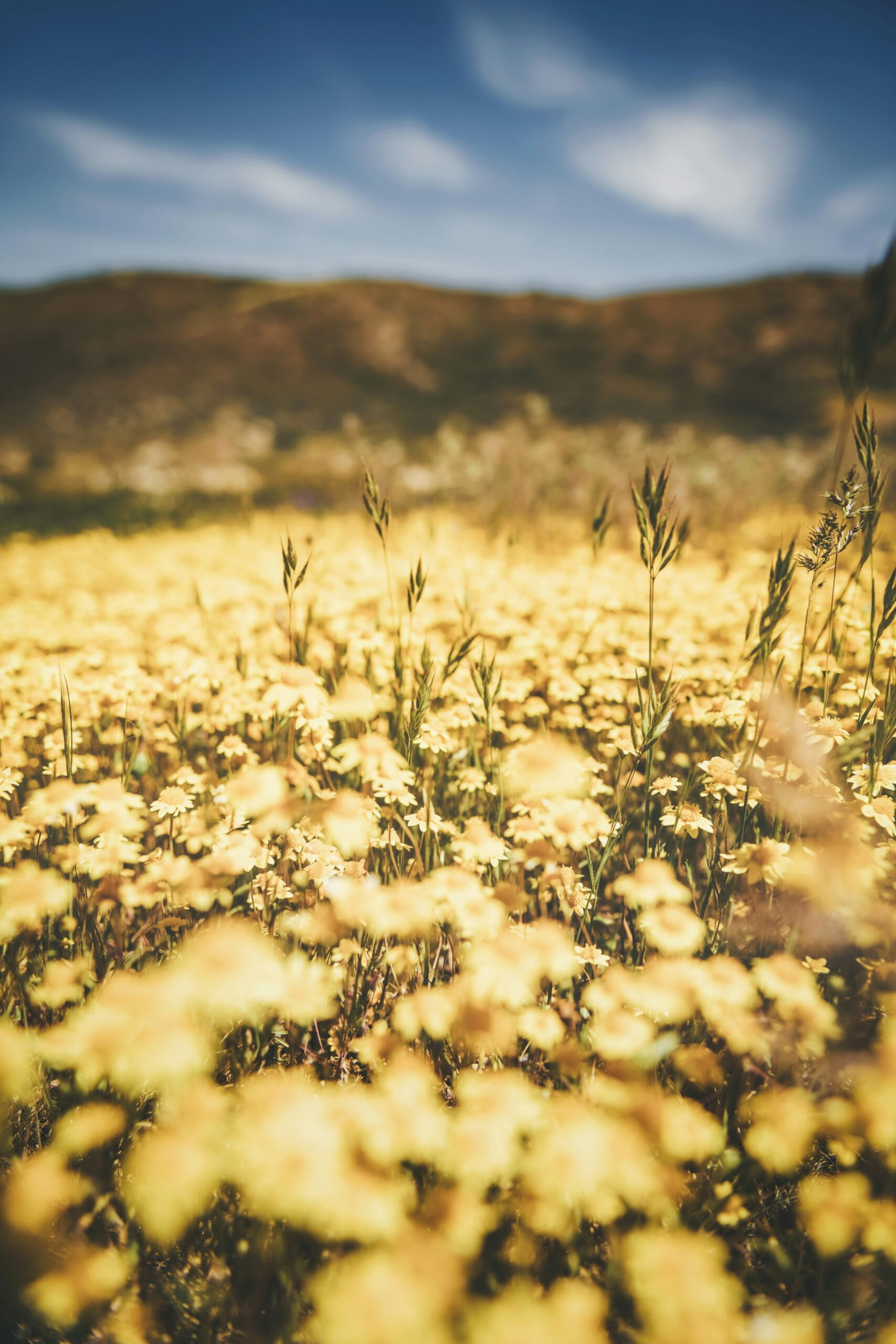
Sometimes I tack on a few national monuments that aren't part of the official nine but fit right into the route. The Carrizo Plain National Monument sits between the Sierra Nevada and the coast, and it's famous for wildflowers and a visible stretch of the San Andreas Fault.
Stopping in Santa Barbara before or after Channel Islands gives me a good place to recharge and restock. These extras aren't part of the nine, but honestly, the extra history and geology are worth the miles.
Timing, Reservations, Safety, and Park Etiquette
Every California parks trip I plan comes down to three things: season, permits, and terrain. If I get those right, I spend my time hiking and exploring—not stuck at a locked gate or in a line of cars.
Best Seasons by Region
I aim for the Sierra parks—Yosemite National Park and Sequoia/Kings Canyon—from late spring to early fall, after the snow melts at higher elevations. Winter closes Tioga Road and Glacier Point Road, so I save those for June through October.
I flip the calendar for the desert parks. I visit Death Valley National Park and Joshua Tree between November and March, since summer temps there are just brutal.
Channel Islands National Park is best in spring for me—wildflowers are out and whales are migrating. I treat Lassen Volcanic National Park like the Sierra parks and wait for the snowpack to melt, usually by July. Pinnacles National Park is a fall-through-spring place for me, since the exposed rock gets dangerously hot in summer.
Road Closures, Heat, and Winter Conditions
I always check road status pages before I set out, because conditions in California's parks change fast. Tioga Road, Lassen's main drive, and a bunch of high-elevation roads in Sequoia and Kings Canyon close from about November through May or June, depending on the snow.
Death Valley's a different beast. I never hike there after 10am in summer, and I always bring more water than I think I'll need. The best times to visit each California park really depend on the heat.
I keep an eye on my gas tank in the desert parks—gas stations are few and far between. If I'm heading into the Sierra parks between November and April, snow chains are just non-negotiable.
Entrance Fees, Passes, and Reservations
Most California parks charge $35 per car for a 7-day pass, or $30 at Death Valley and Joshua Tree. Since I usually hit three or more parks a year, the $80 America the Beautiful annual pass starts saving me money by the third stop.
Yosemite is the one park where I always check for a peak-season day-use reservation before I leave, since the rules change every year and the reservation is separate from the entrance fee. I try to book campgrounds on recreation.gov five months out, right when reservations open, because summer dates in Yosemite Valley disappear in minutes.
For backcountry hiking permits, I apply through the rolling lottery about 24 weeks in advance. If I miss out, I don't cancel—I just switch to a day hike that doesn't need a permit.
Desert, Ocean, and Backcountry Safety
In Death Valley, I carry at least a gallon of water per person per day and skip any midday hiking. Before heading out on any backcountry hike, I let someone know my route, since cell service drops off fast once I leave the main roads.
At Channel Islands, I plan around boat schedules and ocean conditions, since the crossing can get rough and I'm stuck with whatever weather I get once I'm there. I always pack extra layers, no matter the season—coastal fog and island winds can drop the temperature fast.
In the Sierra backcountry, I store food in bear canisters and keep an eye out for afternoon thunderstorms, which can build up quickly at higher elevations in summer.
Low-Impact Travel Practices
I stick to Leave No Trace principles on every trip—packing out all my trash, staying on marked trails, and camping only in designated spots. Honestly, Leave No Trace ethics feel especially crucial in delicate desert and alpine places, where a single mistake can scar the landscape for decades.
I don't approach wildlife for photos, and I try to keep at least 100 yards away from bears and 25 yards from other big animals. If I want to stop for a view while driving park roads, I make sure to pull over all the way instead of clogging up those tight mountain lanes.
Feeding animals? I skip that, even if they wander into camp hoping for a snack.


